SCHAFFHAUSEN, Switzerland & YARMOUTH, Maine–Garmin Ltd. (NASDAQ: GRMN), announced today that it has completed the acquisition of DeLorme, a privately-held company that designs and markets consumer-based satellite tracking devices with two-way communication and navigational capabilities.
“We are looking forward to leveraging the outstanding expertise and skills of the DeLorme team to enable the development of innovative products that will enhance the lives of our customers.”
“We are pleased to have the DeLorme team join the Garmin family,” said Cliff Pemble, president and CEO of Garmin. “We are looking forward to leveraging the outstanding expertise and skills of the DeLorme team to enable the development of innovative products that will enhance the lives of our customers.”
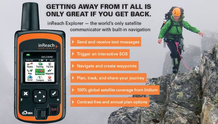
DeLorme pioneered the inReach series of affordable two-way satellite communication devices for the consumer market. These GPS-enabled devices allow the user to send and receive satellite text messages or trigger an SOS for emergency help, anywhere in the world. In addition to inReach, DeLorme has an extensive library of digital cartography and enterprise GIS software, as well as traditional mapping.
Garmin will retain most of the DeLorme associates and will continue operations at its existing location in Yarmouth, Maine. The facility will operate primarily as a research and development office and the team will continue to develop two-way satellite communication and cartographic solutions. Financial terms of the transaction were not released.
About Garmin Ltd.
Garmin Ltd. is incorporated in Schaffhausen, Switzerland, and its principal subsidiaries are located in the United States, Taiwan and the United Kingdom. Garmin is a registered trademark of Garmin Ltd. or its subsidiaries.
Notice on Forward-Looking Statements:
This release includes forward-looking statements regarding Garmin Ltd. and its business. Such statements are based on management’s current expectations. The forward-looking events and circumstances discussed in this release may not occur and actual results could differ materially as a result of known and unknown risk factors and uncertainties affecting Garmin, including, but not limited to, the risk factors listed in the Annual Report on Form 10-K for the year ended December 26, 2015, filed by Garmin with the Securities and Exchange Commission (Commission file number 0-31983). A copy of such Form 10-K is available at http://www.garmin.com/aboutGarmin/invRelations/finReports.html. No forward-looking statement can be guaranteed. Forward-looking statements speak only as of the date on which they are made and Garmin undertakes no obligation to publicly update or revise any forward-looking statement, whether as a result of new information, future events, or otherwise.