CloverPoint, a leader in land management consulting, GIS, mapping, and land management software publishes Infographic recognizing Canada’s leading open data resources.
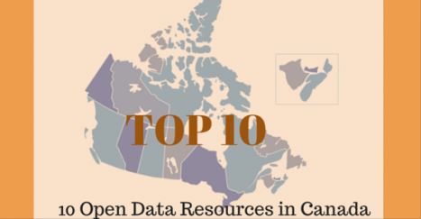
Open Data Infographic – 10 Open Data Resources in Canada
April 8, 2015 – British Columbia, Canada — Developers, mapping professionals, GEO tech consultants, mashup artists, Geogeek hackers, and others are constantly on the hunt for data, ideally “Open Data” to add context and value to apps. In Canada there are a number of Provincial OpenData portals providing open, public access to a variety of data products, spatial data layers, tools, APIs and other useful resources. Sadly there really isn’t a consistent method for archival and maintenance of such data resources, each Province seemingly developing their own gateway or portal for hosting data while data themes and formats available vary from Province to Province. We’ve identified the following 10 resources as a starting point for anyone seeking data in Canada.
We’re pleased to share a “TOP 10″ style list of Open Data resources in Canada. These fine, open resources provide a gateway to developers, citizens, and the community, enabling them to create useful maps, apps, reports, and other data driven information tools. Below you’ll find our Open Data Canada Infographic sharing 10 must-bookmark Canadian data portals serving up data for your maps and apps.
The Top resources recognized in the infographic include:
– The GeoNOVA Portal is the Province of Nova Scotia’s gateway to geographic information
– Government of PEI GIS Data Layers
– Newfoundland & Labrador Open Data portal
– GeoNB gateway to geo information
– Open Data portal for Ontario
– Quebec Open Data portal
– Manitoba land initiative
– OpenDataSK portal
– The Alberta open data portal
– OpenData BC from DataBC
About CloverPoint
CloverPoint (est. 1992) started as a cartographic company 20 years ago and is now an industry leading full services mapping company, delivering location based software and services around the globe. CloverPoint provides land management solutions to progressive organizations. Our mission is to simplify the connection between people, technology and their environment. We believe that everyone should be empowered to realize the full potential of their lands. We do this by making it easy for people to organize, discover and share their information. See http://cloverpoint.com and on Twitter @CloverPointVic
About Insight
Insight™ by CloverPoint is a system for maintaining records to aid in land title and facilities management. It provides a secure environment for storing and accessing information in order to support users and their need to make informed decisions on activities that may impact their land and resources. Insight is unique in its ability to collect information from multiple sources and share it with users based on their roles within the system. Insight™ is being used across North America by planning departments, local governments, engineers, architects, and first nations. See more at http://cloverpoint.com/
Check out this “TOP 10″ style list of Open Data resources in Canada http://t.co/0kvtPzp6FG #infographic #opengov pic.twitter.com/tJt3indbEP
— CloverPoint (@cloverpointvic) April 8, 2015