Maxar Technologies collected new satellite imagery from multiple locations around the world as the novel coronavirus, COVID-19, continues to spread.
A number of locations typically experience huge crowds in public spaces, however, since the outbreak that has changed. Some popular locations affected and captured by Maxar include: Wuhan, China; Qom, Iran; Tokyo and Yokohama, Japan; Milan, Italy; Beijing, China; and Meccca, Saudi Arabia.

great mosque and kaaba_mecca_before coronavirus_14feb2020

great mosque and kaaba_mecca_during coronavirus_3march2020
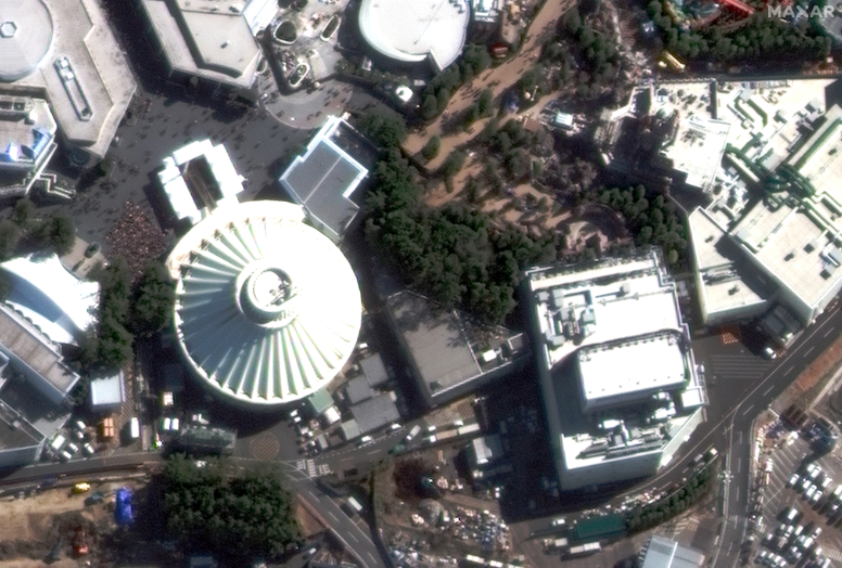
space mountain crowds_tokyo disneyland_before coronavirus_1feb2020

space mountain no crowds_tokyo disneyland_during coronavirus_1march2020
Satellite images ©2020 Maxar Technologies.