An update via Mxar: Maxar’s WorldView-3 satellite collected a set of new images yesterday, October 24th of the Kincade wildfire near Sonoma, California.
The images include both our natural color images as well as our commercially unique shortwave infrared (SWIR) imagery. SWIR imagery is particularly helpful in monitoring wildfires as it enables us to penetrate most of the smoke and easily detect both the active fire lines as well as identify the burned vegetation. With SWIR imagery, healthy (not burned) vegetation appears in shades of blue, while burned areas appear orange/rust color. The active fire areas glow red/orange.
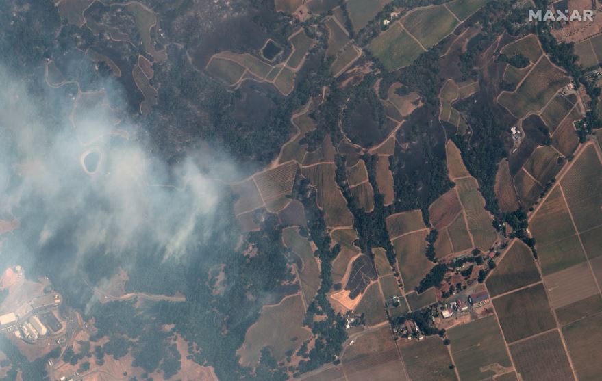
sonoma vineyards_kincade fire_natural color satellite image_24october2019_wv3

geyserville california and fire_24october2019_swir satellite image

overview of western edge of kincade fire_sonoma_swir satellite image_24oct2019

kincade fire_sonoma california_shortwave infrared image_24oct2019_wv3
photo credit “Satellite image ©2019 Maxar Technologies
