Do you enjoy creating Story Maps? If so, there’s something new for you to explore, the Story Maps Beta. The new, Beta resource offers a completely new experience, new UI and new look and feel of your maps.
You won’t find all the pre-defined templates that you might be used to in the original Story Maps, however, you will find a more modern, block-style editor that enables you to create clean maps that are even more mobile friendly.
The existing Story Maps experience enables users to select from a number of pre-defined templates:

Currently, there’s a number of pre-defined story map templates
I spent a little time testing out the Beta system and was pleasantly surprised. It really is easy and nice to use and the experience is in line with the development of all the ArcGIS apps (like Web AppBuilder and Survey123 etc…). If you’ve authored blogs using the new WordPress Gutenberg experience this will look familiar to you! The story map below is a bit of a trial that shows you a new look Story Map –
Story Maps are a fabulous way to create compelling data visualizations and are an ideal fit in any company’s marketing mix!
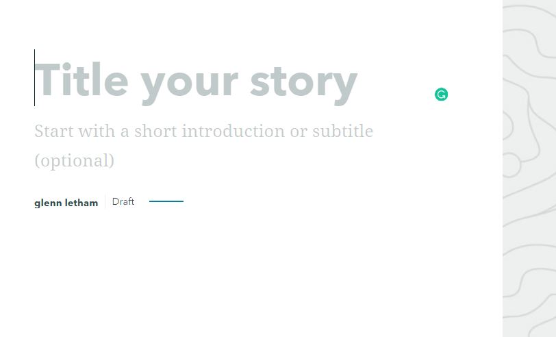

To build your story map simply insert element types into the design area
Finally, I had a chance to build a couple of story maps, one using the “old” system and the story Map Journal template (See first image below – click here to view the story Map). The second image shows a similar Story being told using the new, Beta system. . Which one do you prefer?

Tsunami preparedness story map built with “Old” template
with the new, Beta system
Read more about Story Map BETA HERE
If you’re interested in hearing directly from the team at Esri, be sure to consult this blog post by Allen Carrol. From Allen… “Today marks the dawn of a new era for storytelling with maps. After many months of research, planning, testing, and development, we’ve just launched a beta version of our next-generation storytelling tool. ” The whole story is told in the video below!
Try the story Maps BETA HERE
Just created our first Esri Story Map using the just released #StoryMapsBeta tool – to try out the Beta we put together a little test for #tsunamipreparednessWeek – Victoria BC, Canada Tsunami Resources Story Map https://t.co/dIZuMBuQVy #yyj pic.twitter.com/O16FxG8K7b
— Glenn Letham (@gletham) April 10, 2019