LiDAR has proven to be an effective tool for aerial, terrestrial, and mobile applications. It is conceivable that many current aerial and terrestrial LiDAR applications will be performed by UAS (Unmanned Aerial Systems) in the not-to-distant future.
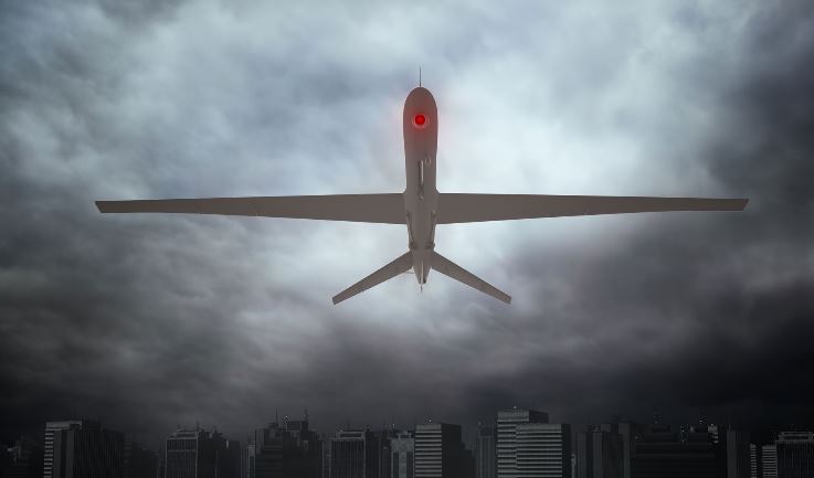
How will UAS (“drones”) change the profession? Today, there are at least two LiDAR sensors on the market that can be used on a UAS: Riegl VUX-1, Velodyne HDL-32E. But there is a growing national concern about the “erosion of privacy” caused by UAS. Most geospatial professionals have not faced a technology that causes such angst with the public. The American mind (and much of the world) has a kind of multiple personality complex about drones. Drones conjure up conflicting images of bad and good: murderous, flying war machines to life-saving technological wonders.
The core concerns about how UAS may erode and invade our privacy are legitimate. Geospatial professionals must understand these concerns, why they exist, and how our application of UAS can affect privacy. There are well over 40 states that have already enacted or are discussing legislation to limit drone activity. This legislative activity has grown from the deep concern that citizens have about privacy. People are concerned that drones may be a real threat to privacy and a threat to their freedom.
The genesis of these concerns can be traced to drone’s first and, to date, their most common use for surveillance and killing in war. Americans are generally O.K. with drones surveilling and killing enemies in war. But using the same stealthy technology to surveil innocent Americans without a warrant sends chills down one’s spine.
Our sense of privacy is further inflamed by other government activities arising from the headlines. The Federal government’s “militarism” within our borders is growing and perceived as excessive. Police departments are equipping themselves with SWAT teams and armor-plated military muscle-machines like MRAPs. In Washington, Iowa, and at least six other small Iowa communities, police have purchased this type of equipment. Militarism of our security forces threatens many Americans’ sense of security and privacy.
Second, recent NAS admissions that our personal communications are tapped has also incited our sense of privacy. There is also a growing realization that our activity is being recorded via our cell phone GPS, cameras on street corners and inside stores, and by Google “reading” all our email. We are now even beginning to see merchants track our location within stores and send us coupons for tighty-whiteys while peering at the underwear rack!
