GIS user technology news

News, Business, AI, Technology, IOS, Android, Google, Mobile, GIS, Crypto Currency, Economics

  • Advertising & Sponsored Posts
    • Advertising & Sponsored Posts
    • Submit Press
  • PRESS
    • Submit PR
    • Top Press
    • Business
    • Software
    • Hardware
    • UAV News
    • Mobile Technology
  • FEATURES
    • Around the Web
    • Social Media Features
    • EXPERTS & Guests
    • Tips
    • Infographics
  • Blog
  • Events
  • Shop
  • Tradepubs
  • CAREERS
You are here: Home / * PRESS / DATA / WorldDEM now entirely edited and available via streaming

WorldDEM now entirely edited and available via streaming

November 1, 2018 By GISuser

Friedrichshafen, 31 October 2018 – Airbus Defence and Space announced that the entire editedWorldDEM database, together with the already available WorldDEM4Ortho dataset, are now available via streaming.This online access to the WorldDEM and WorldDEM4Ortho of the entire Earth’s landmass facilitates a wide range of applications such as line-of-sight-analysis, hydrological modelling, satellite imagery orthorectification and much more.

WorldDEM now entirely edited and available via streaming

Following the comprehensive global acquisition campaign and subsequent processing effort,WorldDEM data is now available for the entire world in an edited version. This dataset corresponds to a hydro-enforced Digital Surface Model with water surfaces of lakes and reservoirs set to a single elevation, rivers and canals are flattened with monotonic flow, oceans are set to zero and coastal infrastructure features are removed. WorldDEM4Ortho, based on the global WorldDEM dataset, is tailored for orthorectification of high and very high-resolution optical and radar satellite data. It enables corrections of all distortions induced by the topographical variations of the Earth’s surface and the satellite orientation when acquiring the image.

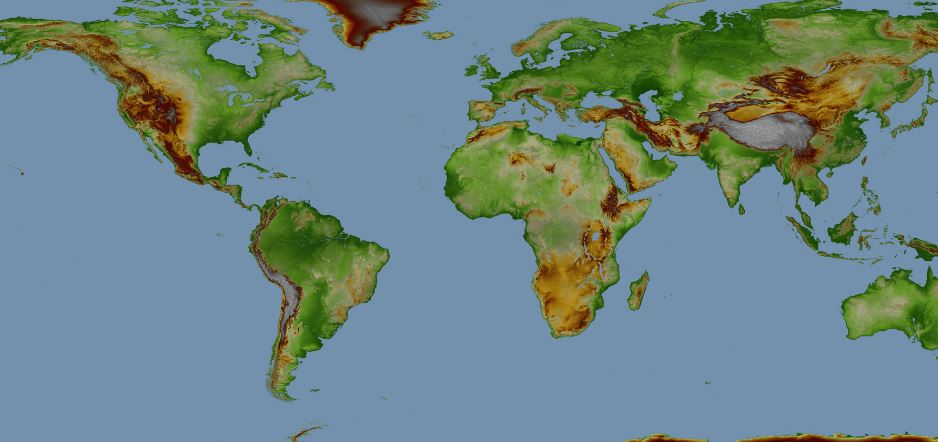
WorldDEM is the first global homogeneous, single-source, high-precision Digital Elevation Model (DEM), whose accuracy and quality surpass that of any global satellite-based elevation model available today. WorldDEM closes gaps with high accuracy in areas where no adequate DEM exists to date by providing standardised DEMs for any spot on Earth at the same quality.

Filed Under: DATA, Top Press Tagged With: WorldDEM

Editor’s Picks

GIS and History: Using the Past to Inform the Present

50 startups from 17 countries to showcase their innovative Internet of Things approaches at CeBIT

Infographic – The History of the iPhone

Data Tip – Customized Coverage from LandScan Global Population Database

See More Editor's Picks...

Recent Industry News

The Drift Between Early Notes and Final Case Files in Abuse-Related Legal Support

April 29, 2026 By GISuser

Aerial Surveys Int’l and Global Marketing Insights to Present GEOINT 2026 Workshop on Multi-Domain Geospatial Fusion for Automated Infrastructure Monitoring

April 24, 2026 By GISuser

Why Timing Matters More Than You Think With Spray Seal (And Why People Often Get It Slightly Wrong)

April 22, 2026 By GISuser

The Quiet Planning Stage Most People Don’t See When Building a Pool in Brisbane

April 22, 2026 By GISuser

Hot News

State of Data Science Report – AI and Open Source at Work

HERE and AWS Collaborate on New HERE AI Mapping Solutions

Virtual Surveyor Adds Productivity Tools to Mid-Level Smart Drone Surveying Software Plan

Categories

Copyright gletham Communications 2015 - 2026

Go to mobile version