GISuser.com

GIS and Technology news for mapping professionals

  • PRESS
    • Submit PR
    • Top Press
    • Business
    • Software
    • Hardware
    • UAV News
    • Mobile Technology
  • FEATURES
    • Around the Web
    • Social Media Features
    • EXPERTS & Guests
    • Tips
    • Infographics
  • Events
  • CAREERS
  • Advertise
    • Advertise
  • Blog
  • Shop
  • Tradepubs
You are here: Home / * PRESS / Business / Cesium Releases Free ‘Cesium for Unreal’ for All Creators

Cesium Releases Free ‘Cesium for Unreal’ for All Creators

April 6, 2021 By Editor

Open source plugin unlocks global 3D data and geospatial technology for Unreal Engine and is now available for free on Epic Games’ Unreal Engine Marketplace

PHILADELPHIA, March 30, 2021  — In collaboration with Epic Games, 3D geospatial software company Cesium has released Cesium for Unreal, a free, open source plugin that delivers high-resolution 3D geospatial technology and accurate real-world data for any type of application.

Create stunning virtual experiences with real-world 3D content in Cesium for Unreal, a free, open source plugin for Unreal Engine.
Cesium for Unreal enables real-world 3D location data and geospatial technology for Unreal Engine.

Tweet this

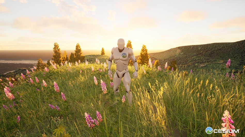
Cesium for Unreal enables a high-accuracy full-scale (WGS84) globe in Unreal Engine, the open and advanced real-time 3D tool from Epic Games, creator of Fortnite. With this new plugin, developers now have the ability to create interactive, virtual worlds using accurate real-world 3D content captured from cameras and LIDAR sensors on satellites, drones, and intelligent machines.

“Cesium’s expertise in cloud-based geospatial software applications and leadership on open standards for streaming massive 3D content makes them an ideal partner to support Epic’s vision for an open Metaverse,” said Marc Petit, VP and General Manager of Unreal Engine at Epic Games.

The implementation of 3D geospatial technology in real-world environments — from building immersive experiences in artist-created scenes to those based on 3D content in its precise geospatial location — represents a shift in industries including training and simulation; architecture, engineering, and construction (AEC); automotive and transportation; film and television; broadcast and live events; and games.

The plugin is the first step toward a future where immersive, global-scale 3D applications with pinpoint precision are ubiquitous across industries.

“At Cesium, we’ve long believed in the potential for innovation at the intersection of the 3D geospatial and computer graphics ecosystems,” said Cesium CEO Patrick Cozzi. “Cesium for Unreal is a monumental step in bridging decades of advancements in these technologies.”

Cesium for Unreal is available to download for free on the Unreal Engine Marketplace. It includes integration with Cesium ion for optional commercial access to curated 3D content like global terrain, 3D buildings, photogrammetry, and satellite imagery, and software to convert custom high-resolution 3D data into streamable 3D Tiles.

About Unreal Engine
Epic Games’ Unreal Engine is the world’s most open and advanced real-time 3D tool. Creators across games, film, television, architecture, automotive and transportation, advertising, live events, and training and simulation choose Unreal to deliver cutting-edge content, interactive experiences, and immersive virtual worlds. Follow @UnrealEngine and download Unreal for free at unrealengine.com.

About Cesium – The Platform for 3D Geospatial
Cesium’s open platform provides the foundations any software application needs to utilize 3D geospatial data: visualization, data pipelines, curated global 3D content, and analytics. Committed to openness and interoperability, Cesium powers solutions that create digital twins of the real world in industries such as AEC, aerospace, energy, commercial real estate, smart cities, autonomous driving, and defense. Follow @CesiumJS or visit https://cesium.com.

SOURCE Cesium

Related Articles on GISuser:

  • CodeSee Launches Open Source HubCodeSee Launches Open Source Hub
  • Everything You Need to Know About Kubernetes Security Best PracticesEverything You Need to Know About Kubernetes Security Best Practices
  • Mapbox once touted as the opensource competitor to Google Maps is no longer freeMapbox once touted as the opensource competitor to Google Maps is no longer free
  • Geospatial Tech To Guide Santa’s Visit to the International Space StationGeospatial Tech To Guide Santa’s Visit to the International Space Station
  • cesiumPhilly Geospatial Startup Racks Up Awards
  • Cesium Adds Global Layer of 3D BuildingsCesium Adds Global Layer of 3D Buildings

Filed Under: Business, Software Tagged With: cesium, Open Source


Editor’s Picks

Using Lidar to Classify Landslides

Using Lidar to Classify Landslides

ArcGIS 10.3 and ArcGIS Pro Now Available – Modernize GIS for Organizations and Enterprises

Real Earth™ Wins Microsoft Competition for 3D Mapping and Localization

Salary Guide, Tips for Fastest Growing Industries & Top Technology Positions in Demand

See More Editor's Picks...

About Editor

Glenn is a geographer and a GIS professional with over 20 years experience in the industry. He's the co-founder of GISuser and several other technology web publications.

Feed

  • RSS


GIS jobs


Recent Features

Digitalization and Simulation at the North Pole

Natural Gas District & GIS-Centric Asset Management

5 Ways Technology Is Affecting The Sharing Economy

Spotlight – Township Canada: Explore Canadian Legal Land Descriptions on a Map

GeoGeeksinCars – The one in “Tippy” the right-hand drive Mitsubishi, at DevSummit

More Posts from this Category

Categories

Recent Posts

  • The ICC Cricket World Cup Betting – Facts and Betting Tips
  • Blog Title: How eGov Platform Automating Citizen Services
  • A treadmill is one of the most popular fitness equipment
  • 3 Things to Help You Become a Software Engineer
  • Esri Announces Winners of the 2022 ArcGIS Online Competition

RSS Career Tips

  • Four Characteristics of the Best Virtual Employees
  • 8 Questions Employers Should Ask About Coronavirus
  • Jobcase Launches Free Unemployment Resource Center for Workers Impacted by COVID-19
  • Must-Have Gadgets and Technology for the Remote Office Worker
  • Must-Have Gadgets and Technology for the Remote Office Worker


shop for geogeek swag

RSS Tech pubs

  • Top Tips and Tricks: Windows 11
  • The 2022 State of the Data Center Report
  • What is Network Security?

RSS Computers

  • The Essentials of Information Security Kit: Includes a Free PC Security Handbook - 2nd Edition eBook
  • The Idiot's Ultimate Guide to Build Your Own PC
  • Windows... On Speed

RSS HR Tips

  • Measuring and Managing Employee Experience
  • At Work: The 2022 Workplace Trends Report
  • The 2022 Guide To Creating A Great Visitor Experience

RSS Gov Tech

  • The Bipartisan Infrastructure Bill: How you can win more bids
  • How Connected Vehicle Data Can Transform Public Sector Decision-Making
  • Getting started with personalization at scale

RSS UAV news

  • Draganfly Deploys Versatile Situational Assessment Drones to Ukraine
  • Ocean Specialists Inc. Launches “USVs as a Service” Business Line
  • UAS Drone Subsidiary, Duke Robotics’, Sniper Drone showcased at a leading International Airshow in the Asia Pacific Region

RSS Geojobs

  • IT Endpoint Lead
Copyright Spatial Media LLC 2003 - 2015