Maxar’s WorldView-3 satellite collected new imagery yesterday afternoon (August 20th) of the LNU Lightning Complex wildfire burning in Sonoma County near Healdsburg, California.
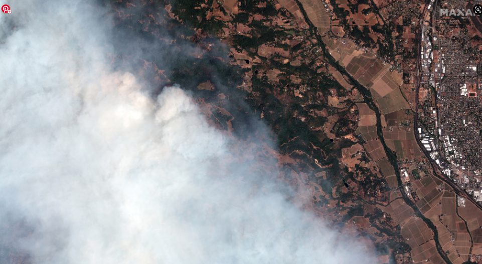
lnu lightning complex wildfire_healdsburg california_20august2020_wv3 natural color image
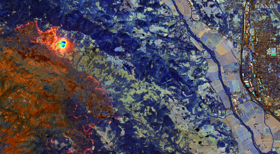
Lnu lightning complex wildfire_healdsburg california_20august2020_wv3 shortwave infrared image
Yesterday’s imagery shows a large area covered in thick smoke from the fires burning to the west of Healdsburg; however, Maxar’s unique high-resolution shortwave infrared (SWIR) satellite imagery can penetrate the dense smoke and you can clearly see the active fire lines and hot spots around the area. With SWIR satellite imagery, burned vegetation appears in a rust/orange color while healthy (not burned) vegetation appears in shades of blue. Active fires glow orange/yellow.
Satellite image ©2020 Maxar Technologies.