GIS user technology news

News, Business, AI, Technology, IOS, Android, Google, Mobile, GIS, Crypto Currency, Economics

  • Advertising & Sponsored Posts
    • Advertising & Sponsored Posts
    • Submit Press
  • PRESS
    • Submit PR
    • Top Press
    • Business
    • Software
    • Hardware
    • UAV News
    • Mobile Technology
  • FEATURES
    • Around the Web
    • Social Media Features
    • EXPERTS & Guests
    • Tips
    • Infographics
  • Blog
  • Events
  • Shop
  • Tradepubs
  • CAREERS
You are here: Home / * PRESS / DATA / Caliper Offers 116th Congressional Districts with 2010 Census Data and 2017 ACS Data for Use with Maptitude

Caliper Offers 116th Congressional Districts with 2010 Census Data and 2017 ACS Data for Use with Maptitude

April 5, 2019 By GISuser

NEWTON, MASSACHUSETTS (USA) – Caliper is excited to announce that the 2019 edition of Congressional Districts data is now available for the entire USA.

Sample Maptitude map of U.S. Congressional Districts with Population Density

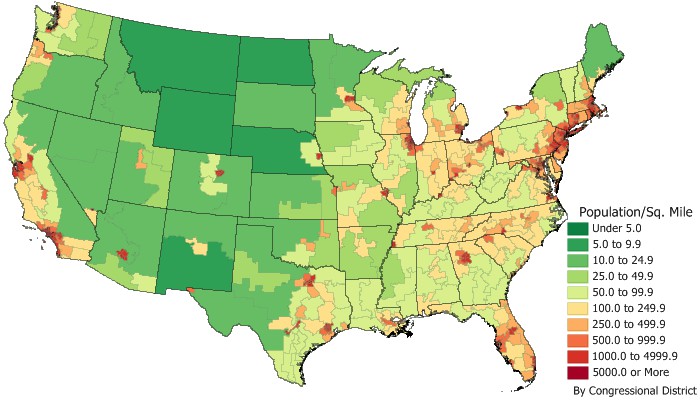
These are the most accurate boundaries available, reflecting our expertise in the field as the market leading redistricting software package. The Congressional Districts data contains a nationwide area database with boundaries of the 116th (January 2019-January 2021) Congressional Districts. It also includes demographic data from the 2010 Census and updated data from the 2017 American Community Survey (ACS) 5-year estimates.

The Congressional Districts data is packed with essential information for corporate legislative affairs departments, lobbyists, political consultants, political parties, and anyone else involved in political affairs. You will be able to answer questions such as “In which districts are my addresses located?” or “In which districts should I expend the most effort?”

The price is US$495 and it is available online at the Caliper Store. If you have any questions, please call Maptitude Sales at 617-527-4700, or send an e-mail tosales@caliper.com.

About Caliper

Caliper Corporation develops state-of-the-art Geographic Information Systems (GIS) software. With a focus on usability, Maptitude is designed to be a cost-effective, professional mapping software product. Maptitude enables organizations to leverage their location-based data to improve decision making and planning, while minimizing expenditure through competitively priced solutions.

Caliper is a privately held corporation and is a leading developer of mapping, redistricting,transportation, and GIS software.

Filed Under: DATA Tagged With: caliper

Editor’s Picks

Internet of Things for Defense & National Security

Event Review, Commercial Drone Expo

50 startups from 17 countries to showcase their innovative Internet of Things approaches at CeBIT

Leica RCD30: Better Resolution with More Details for 3D City Modeling

See More Editor's Picks...

Recent Industry News

Why Bathroom Renovation Services Often Change More Than Just the Bathroom

May 20, 2026 By GISuser

The Drift Between Early Notes and Final Case Files in Abuse-Related Legal Support

April 29, 2026 By GISuser

Aerial Surveys Int’l and Global Marketing Insights to Present GEOINT 2026 Workshop on Multi-Domain Geospatial Fusion for Automated Infrastructure Monitoring

April 24, 2026 By GISuser

Why Timing Matters More Than You Think With Spray Seal (And Why People Often Get It Slightly Wrong)

April 22, 2026 By GISuser

Hot News

State of Data Science Report – AI and Open Source at Work

HERE and AWS Collaborate on New HERE AI Mapping Solutions

Virtual Surveyor Adds Productivity Tools to Mid-Level Smart Drone Surveying Software Plan

Categories

Copyright gletham Communications 2015 - 2026

Go to mobile version