GIS user technology news

News, Business, AI, Technology, IOS, Android, Google, Mobile, GIS, Crypto Currency, Economics

  • Advertising & Sponsored Posts
    • Advertising & Sponsored Posts
    • Submit Press
  • PRESS
    • Submit PR
    • Top Press
    • Business
    • Software
    • Hardware
    • UAV News
    • Mobile Technology
  • FEATURES
    • Around the Web
    • Social Media Features
    • EXPERTS & Guests
    • Tips
    • Infographics
  • Around the Web
  • Events
  • Shop
  • Tradepubs
  • CAREERS
You are here: Home / *BLOG / Web GIS Gets A Huge Boost From Esri – What’s New in ArcGIS 10.3

Web GIS Gets A Huge Boost From Esri – What’s New in ArcGIS 10.3

December 13, 2014 By GISuser

This week, Esri quietly released ArcGIS 10.3 noting to users, If you’re a Desktop user, you’ll get ArcGIS Pro and a named user account to ArcGIS Online, which in turn unlocks all the ArcGIS apps

ArcGIS 10.3

ArcGIS 10.3 –

“The Next Generation of GIS”, Esri’s Sud Menon

For Portal users – If you’re a Server user, you’ll now have Portal for ArcGIS, which gives you the capabilities of ArcGIS Online within your own infrastructure, including access to all the ArcGIS apps

Features and Functionality (Source: Esri)

  • ArcGIS Pro Reinvents Desktop GIS
  • ArcGIS for Server Gets a Front End
  • Create Apps That Work on Any Device with Web AppBuilder
  • Create Open Data with the Click of a Button

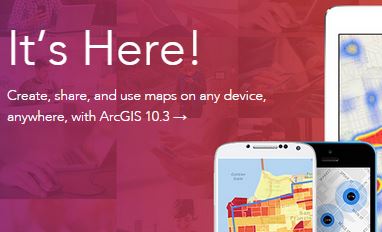
Quickly add location to your applications by using the web API or native SDK of your choice, then deploy your app across any device.

From the ArcGIS blog, some highlights:

  • ArcGIS Pro – Your New ArcGIS for Desktop App
  • More Tools for ArcMap – ArcMap is better than ever
  • ArcGIS for Server is now a complete Web GIS
  • 3D begins to roll out across the entire platform
  • Real-time GIS at 10.3
  • More opportunities for developers – developers working with ArcGIS Pro can leveragePython to automate tasks.

Read More on the blog

See more about ArcGIS 10.3 HERE

Filed Under: *BLOG, FrontPage Leader, Software, SPOTLIGHTS Tagged With: arcgis 10.3, ESRI

Editor’s Picks

Keep the UAV Devices Away – Create and Register Your Own No Fly Zone

Mapping Water Use: Landsat and America’s Water Resources

USGS Lidar Base Specification Version 1.2

Feature: Social Media Mapping is Crucial for Market Research and your Social Strategy

See More Editor's Picks...

Recent Posts

  • Can CBN Gummies Help with Cortisol Regulation? Let’s Find Out 
  • How Geospatial Technology Is Shaping the Future of Esports Analytics
  • How Interpretation Services Are Breaking Language Barriers Worldwide

Categories

Copyright Spatial Media LLC 2003 - 2015

Go to mobile version