GOLDEN, Colorado, 14 September 2022 – Golden Software, a developer of affordable 2D and 3D scientific modeling packages, has upgraded its Surfer® gridding, contouring, and 3D surface mapping package with improved grid display and data coordinate conversion options.
“In the newest version of Surfer, our developers focused on giving users new display functions so they can communicate information more easily and clearly,” said Kari Dickenson, Surfer Product Manager. “In addition, we have made it simpler to convert data into the right coordinate system to align with other layers or data sets.”
Known for its fast and powerful contouring algorithms that regularly outperform more expensive packages, the Surfer surface mapping software enables users to model data sets, apply an array of advanced analytics tools, and graphically communicate the results in ways anyone can understand. It is used by more than 100,000 people worldwide, many involved in oil & gas exploration, environmental consulting, mining, engineering, and geospatial projects. The software has been relied upon for more than 30 years by users to easily visualize and interpret complex data sets.
Golden Software has made the following enhancements in the latest Surfer version released today:
Coordinate Conversion for Base Layers – Users can specify mathematical calculations or simple georeferencing operations to reposition or convert the coordinates of vector base layers (e.g., from DXF, SHP, or XLSX files). This allows users to convert vector files from unknown local systems into referenced systems, such as Lat/Long, UTM, or State Plane Coordinate System, or to shift base layers in any direction, making it easier to overlay the vector data with other map layers or to use the converted data to create a grid file.
View Base and Post Layers in Grid Editor – Edit a grid from the plot window, and when the grid opens in the Grid Editor, any post or base layers in the map are also displayed in the Grid Editor. Users can easily edit the grid relative to background imagery, control points, coastlines, buildings, roads, or other objects in a background map or overlay.
Disperse Labels Command – Users can automatically avoid colliding labels in a base, post, or drillhole layer with a single click by dispersing the object labels so they don’t overlap one another, making the map easier to read.
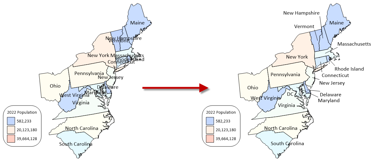
Leader Lines – To ensure the labeled map is easy to understand, users can turn on Leader Lines that connect custom placed labels with the point, polygon, or other object to which they belong in base and drillhole layers.
Surfer Beta Available
As is the tradition, Golden Software has released a Beta version of Surfer simultaneously with the new version to give customers a chance to try out new features while they are still in development. Users may find the Beta version by clicking File | Online from within Surfer.
“Our Beta development is introducing powerful new 3D gridding functionality in Surfer,” said Dickenson.
Here are the new features available in Beta now, to be officially included in the Spring 2023 release of Surfer:
- 3D Grids – Users can now create grids from X, Y, Z and an additional “C” variable, such as groundwater or soil contaminant concentration. This makes it possible to visualize how the concentration or other variable changes with depth or elevation.
- 2D Map Creation from 3D Grid – Users can create a 2D map of a slice through a 3D grid and utilize a slider to move the slice up and down through the 3D grid, dramatically illustrating how the C value changes with depth on the map.
- 3D Rendered Volume – Visualize the 3D grid in the 3D View as a rendered volume by assigning colors to different C values to highlight variations in the data. Colors can be fully or partially transparent so that other surfaces or details remain visible.
- Isosurface Creation – Visualize the 3D grid in the 3D View as an isosurface – a surface of constant value in a three-dimensional volume – providing another way of visualizing how C data varies with depth or elevation. Calculate the volume on either side of the isosurface value.
About Golden Software
Founded in 1983, Golden Software is a leading developer of affordable scientific graphics software. Its customer base includes over 100,000 users involved in environmental consulting, oil and gas exploration and extraction, mining exploration and extraction, engineering, applied science, business, education, and government in nearly 190 countries and territories. Golden Software offers two products: Surfer® for gridding, contouring and 3D surface mapping and Grapher™ for 2D and 3D graphing.
For additional information, visit www.GoldenSoftware.com or call 1-303-279-1021.