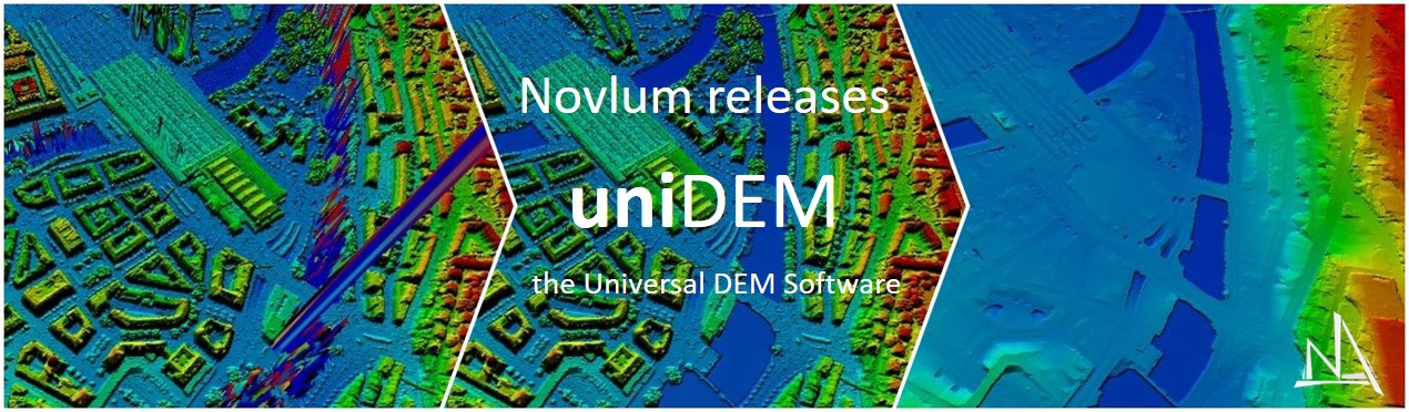
Calgary, AB – May 29, 2019 – Novlum announces the release of uniDEM, a specialist software designed for Digital Elevation Model editing.
uniDEM is built to efficiently process, visualize and analyse all types of DEMs – LiDAR, photogrammetric and radar based – at all resolutions from very high (< 1m) up to medium and coarse resolution.
uniDEM is devised for Point Cloud to DEM calculation, DEM finishing and enhancement, DEM editing to customized specification and generating Digital Terrain Models representing bare earth. It has easy to use tools for editing, manipulating, and visualizing DEMs meeting advanced requirements and specifications, e.g. USGS 3DEP, NASA Global DEM, NGA DEMs. It offers the ability to import and export DEMs, images and auxiliary data.
uniDEM is powerful and user-friendly for experts and non-experts. It guarantees fast and efficient production of tailored and standardized large-area DEMs and is suited for big data production. The semi-automated approach allows for integrated edit and quality control unmatched in the industry. uniDEM delivers results on a professional level in a reproducible way and stands for effective workflows, process automation and speediness for DEM creation.
“uniDEM is the right solution for DEM producers, suppliers and users. It is designed to enhance small-scale customer specific DEMs as well as finish DEMs in a standardized manner covering large areas. uniDEM enables the creation of high-quality DEM products in a cost and time saving manner,” said Graham Garvey, Head of Mapping and Co-founder of Novlum. “uniDEM solves the 80/20 issue in DEM editing: even the difficult 20% of a DEM can be edited in an efficient way and won’t take 80% of the project time.”
uniDEM is a low-cost stand-alone software and runs on any Windows desktop or laptop and doesn’t require any specific hardware. uniDEM saves overall project time by speeding up the processing time. The inexpensive price makes uniDEM affordable for all users.
About Novlum
Novlum is an innovative geospatial solution software company focussing on geo-data processing, real-time visualization and efficient analysis of all types of 3D data. Novlum’s internally owned Intellectual Property provides the flexibility to serve demands in all spatial-based industries worldwide.
To learn more about Novlum visit: www.novlum.com