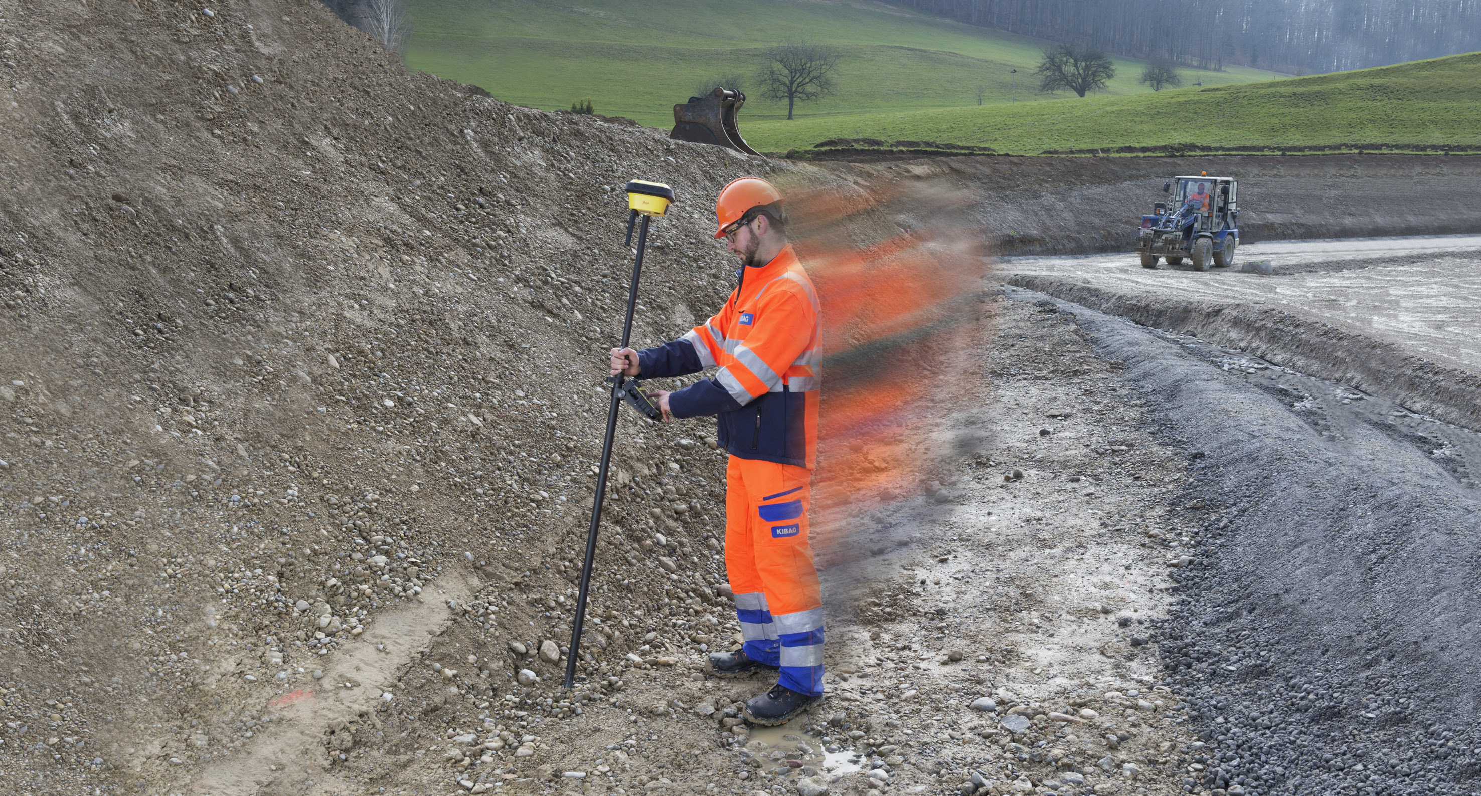
The Leica iCON gps 70 T antenna makes handling easy with permanent tilt compensation
(Heerbrugg, Switzerland, 26 April 2018) – Leica Geosystems, industry leader in measurement technology, announced today the new Leica iCON gps 70 T smart antenna as part of its Leica iCON gps 70 series for reliable and easy stake-out jobs on any construction site.
The Leica iCON gps 70 T antenna makes handling easy with permanent tilt compensation
Measurement results become quicker and more accurate with the gps 70 T’s permanent tilt compensation, resistance to magnetic interferences and calibration-free usage.
“The construction industry is one of the most hazardous workplaces and safety is the highest priority to make sure everyone goes home each day. The new Leica iCON gps 70 T now allows the user to focus on his immediate environment without having to stare at the pole bubble to keep his receiver in a vertical position. The user can look around for other people, machines, excavations, motor vehicles and structures. The Leica iCON gps 70 T will make a significant improvement to the user daily experience of their work site,” says Dave Klease, national machine control manager, C.R. Kennedy.
Construction positioning tasks made easy
With the iCON gps 70 T, construction professionals can measure and stakeout points quicker than ever before without the need to keep the pole vertical to level the bubble. The combination of the latest GNSS technology and inertial measurement unit (IMU) equips the gps 70 T with true tilt compensation. The tilt compensation extends the measurement possibilities, improves quality and accuracy of the collected data, and reduces errors.
The iCON gps 70 Series is seamlessly integrated into the version 4.0 of the iCON field software. By keeping the core central interface, users will benefit from the simple-to-use workflows that require less training and avoid costly downtime.
“We are excited to announce a new smart antenna technology that changes the life of the construction professional,” says Matthias Schmidt, Leica Geosystems program manager for field software and 3D sensors. “Operators can now focus more on the job itself than on one single measurement, resulting in more quality work and significant time savings.”
Further information about the Leica iCON gps 70 T can be found at: https://leica-geosystems.