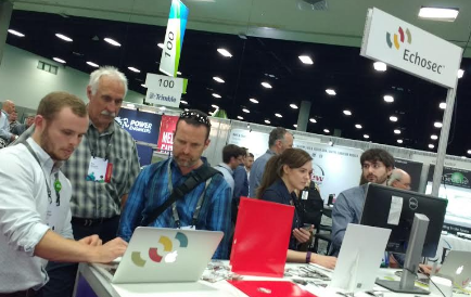
If you were in attendance at the 2016 ESRIUC then you likely heard about a little company in the Esri Startup Pavillion called Echosec. Now in year 3 as an esri small business partner, Echosec used the UC as a coming out party to announce their integration with ArcGIS Online
Simply put, for users of Echosec’s location-based social media search service, this means a tighter integration into ArcGIS and some really awesome added capabilities for the ArcGIS user community. What is it exactly? Echosec is the first search engine of its kind to realize that ‘where’ matters as much as ‘what’. The unique way of harvesting and displaying dynamic and user-generated content from sites like Twitter, Foursquare and Instagram, gives Echosec a completely unfiltered and real-time view of the world. Echosec has become an indispensable resource for public safety, government, and brand managers looking for information on global events.
Echosec was definitely turning heads in the startup zone, with much attention being paid to the service that ingests millions of social media posts per hour and displays the results on a map-based UI. Users can optionally geofence a region of interest, view posts by layer (ie. Instagram, Twitter, youtube, etc…) and much more. Users of the Pro service can do much more like setup alerts, search much deeper using custom search parameters, and browse results from more than 100 social media services – law enforcement, the military, the insurance industry and many others have embraced these capabilities. This latest offering will serve to expand the capabilities by providing users in the ArcGIS ecosystem the ability to scrape and ingest social media posts directly into ArcGIS online where they can be further analyzed and visualized.
For those who were fortunate enough to be in attendance at esriuc, Echosec co-founder Mike Anderson, delivered a very interesting presentation titled “Discovery and Analysis of Big Data Using GIS”. Mike dove deep into the anatomy of a social media post by showing a series of slides that broke down the JSon code behind the scenes from a Tweet that was ingested via Swarm social check-in. The result was some 4 pages of data that provided a wealth of data and metadata about the poster – many in the room were quite surprised at how much information was shared in one simple tweet!
A video showing this latest integration is below:
See also: Echosec to Showcase Location-Based Geospatial Social Search Solution at 2016 #ESRIUC