Outdoors enthusiasts can build impressive collections of Ordnance Survey maps, but it often means they’re not using the most up-to-date maps to get outside and explore Britain. Up until 20 March, OS is offering avid explorers the chance to return their old maps and receive money off new map purchases in return.
Following the success of a similar scheme in 2014, when Ordnance Survey had a phenomenal 10,601 outdated paper maps returned to them and offered thousands of pounds in savings on new maps, the map return scheme is on offer once again. Depending on the number of maps returned, participants can receive a voucher up to the value of £15 to spend in the online map shop.
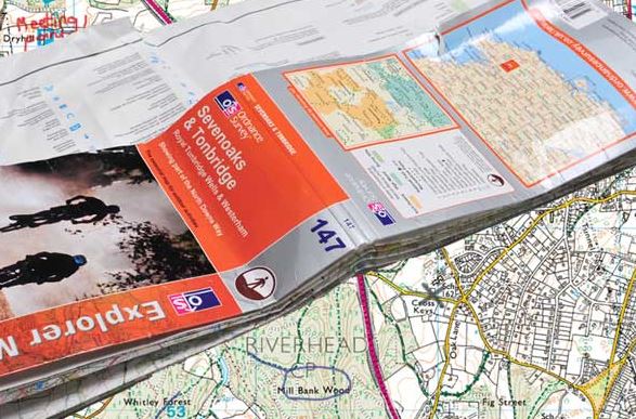
This year, those who return maps will be able to update to the brand new OS Explorer and OS Landranger maps which include a mobile download of the map.
First launched to the Outdoor Leisure maps in summer 2015, the maps now include an iOS and Android compatible download of the map area. The downloaded map allows users to plot and store routes electronically. All the map data is stored locally and is available regardless of whether the smart device has a signal or not, making it perfect for even the remotest of areas to use alongside your paper map. The OS Landranger version of these new maps will be available from24 February, joining the OS Explorer range.
Nick Giles, Managing Director of Ordnance Survey Leisure Ltd said:
“Our OS Explorer Maps and OS Landranger Maps are updated with new versions every two to five years depending on the area and a lot can change.
“We’ve been delighted to see people recognising the importance of paper maps for navigation in the last 12 months, seeing a 1% growth in the number of maps sold in 2015. From the number of maps returned in the last trade-in scheme, we hope that people are getting the message that it’s important to use an up-to-date map. Last time, our team had fun creating a giant map of Britain from just a fraction of the returned maps – who knows what we can create this time!”
The 10,601 maps returned in 2014 covered the length and breadth of the country, with the earliest being from 1919 and a large number from the 1950s and 60s. The old maps were recycled and reused wherever possible to help teach navigation skills to young people, and some even being used for art projects. The organisation is open to creative ideas for their use once more; please email ideas to magazine@ordnancesurvey.co.uk.
The scheme runs until Sunday 20 March 2016. Find details on how to return maps here: www.os.uk/shop/map-trade-in.