GIS user technology news

News, Business, AI, Technology, IOS, Android, Google, Mobile, GIS, Crypto Currency, Economics

  • Advertising & Sponsored Posts
    • Advertising & Sponsored Posts
    • Submit Press
  • PRESS
    • Submit PR
    • Top Press
    • Business
    • Software
    • Hardware
    • UAV News
    • Mobile Technology
  • FEATURES
    • Around the Web
    • Social Media Features
    • EXPERTS & Guests
    • Tips
    • Infographics
  • Blog
  • Events
  • Shop
  • Tradepubs
  • CAREERS
You are here: Home / *FEATURES / THE EDITOR / OpenCage Data Looks to Open Up OpenStreetMap Data (OSM) to Users

OpenCage Data Looks to Open Up OpenStreetMap Data (OSM) to Users

June 18, 2013 By Editor

OpenCage Data  http://www.opencagedata.com/ – a new effort that guarantees to make using OSM data easy for organizations and to help users get OpenStreetMap data in the format they want it! Born out of London-based Lokku (a 15 person team), the team, best known for running Nestoria (see http://www.nestoria.com)  has sponsored numerous State of the Map conferences, mapping parties, and made major donations to HOT-OSM and OSMF’s server drives. To kick off this effort OpenCage Data has gathered together a who’s-who in the Geospatial World to head up their board of advisors, these include Andy Allan (OSM developer), Gari Araolaza, Gary Gale (Nokia HERE), Marc Prolieau, Marc Tobias Metten, Sajjad Anwar, Steven Feldman, and Tyler Bell (Factual).

While the service is in launch mode there’s no setup fee and a generous pricing scheme is being offered to clients who can receive there data in a variety of ways including FTP, email etc… Data are also refreshed (updated) as often as required. Data are available in a variety of useful formats including CSV, geoJSON, and SHP (or in a custom data format)

So who is OpenCage Data for? The effort recognizes several key markets:

  • existing customers of traditional (often national) geodata sellers who are looking for an affordable way to dip their toes in the OSM waters
  • businesses like Nestoria who want to move fast and build something rather than have the pain of data extraction themselves
  • anyone looking for geodata for the developing world where OSM is often the best source available and dealing with the local government agency is difficult/prohibitively expensive
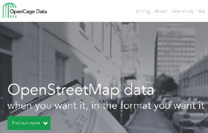
opencage data

See http://www.opencagedata.com/

See Also:

Nestoria blog – Why (and how) we’ve switched away from Google Maps

OSM Plus Europe, Sept 2013

Filed Under: THE EDITOR Tagged With: editor, Experts, Glenn Letham, gletham, OpenCage Data Looks to Open Up OpenStreetMap Data (OSM) to Users, opendata

Editor’s Picks

Event Review, Commercial Drone Expo

DigitalGlobe Top Images from 2014 – The fourth annual Top Image contest

Esri Partners Acknowledged for Best Practices in GIS

Mobile Data Collection with FulcrumApp and Moving into CartoDB

See More Editor's Picks...

About Editor

Glenn is a geographer and a GIS professional with over 20 years experience in the industry. He's the co-founder of GISuser and several other technology web publications.

Recent Industry News

Bird Netting Installation in Dubai for Property Care 

July 11, 2026 By GISuser

How AI Helps Identify Crystals From Photos

July 10, 2026 By GISuser

The Future of Competitive Gaming: Why DMA Technology is the Ultimate Performance Edge

June 24, 2026 By GISuser

Milwaukee M18FHZ-0 Hackzall Reciprocating Saw – For hardcore cutting in a compact size

June 19, 2026 By GISuser

Hot News

State of Data Science Report – AI and Open Source at Work

HERE and AWS Collaborate on New HERE AI Mapping Solutions

Virtual Surveyor Adds Productivity Tools to Mid-Level Smart Drone Surveying Software Plan

Categories

Copyright gletham Communications 2015 - 2026

Go to mobile version