GeoMax connects its entire X-PAD software portfolio, offers integrated applications and services that are accessible anytime, anywhere
(Widnau, Switzerland, 29 April 2021) – GeoMax Positioning, part of Hexagon, introduces the new X-PAD 365 web-based cloud platform that addresses data management and collaboration challenges surveyors and construction professionals meet every day. The web-based platform provides online file management, allowing users to access and store data in the cloud. Users of GeoMax X-PAD Ultimate and X-PAD Fusion can share data instantaneously with their colleagues in the office or the field. File sharing and exchanges between different people can also happen in X-CHAT, an integrated instant messaging tool.
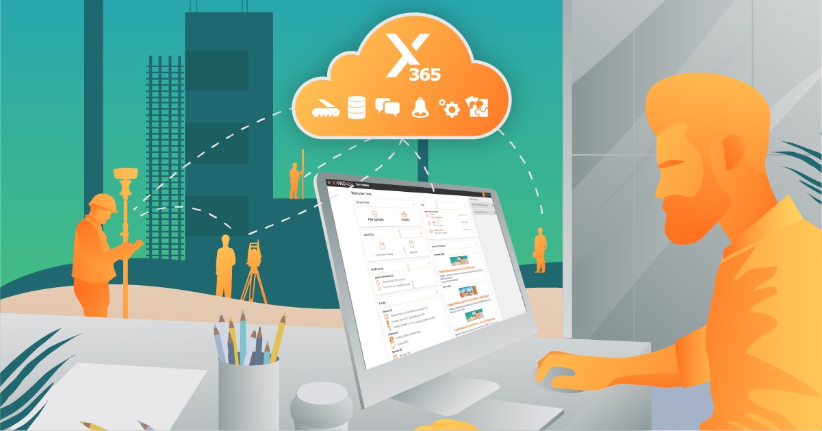
X-PAD 365 – One platform, endless services.
Furthermore, X-PAD 365 makes work more convenient and efficient through the Collaborative Survey and Stakeout feature. Several users can work on the same project together, sharing real-time surveyed points and drawings, work on the same large stakeout project and immediately see the progress.
X-PAD 365 also automatically stores the captured data in the X-PAD 365 file manager as a backup. With backups, repetitive setups are minimised. Adrian Nazar, Service Director of GEOLINE sp. z .o.o. from Poland, states: “Backup and restore – So simple, but so incredibly useful.”
In addition to the extended data management options, the platform also offers asset management. Users can register GeoMax products and receive notifications about their equipment. Dedicated training material for different products is available, enabling users to increase their productivity by exploiting the full potential of GeoMax solutions.
“All the different features have been designed to offer the best integration between X-PAD Ultimate, X-PAD Office Fusion and X-PAD365 web application. With X-PAD 365, single users, teams and enterprises can enter a new era of services available across multiple applications and platforms,” says head of X-PAD development team, Keven Corazza.
For more information, please visit: https://geomax-positioning.
GeoMax
As a part of Hexagon, GeoMax Positioning benefits from industry-leading technological expertise. It allows GeoMax to provide a comprehensive portfolio of unmatched, integrated, intuitive solutions, along with flexible, hands-on support for surveying and construction professionals around the world.
With Hexagon’s support, GeoMax provides cutting-edge components from premium suppliers such as SATEL and NovAtel to strengthen its brand and deliver the best possible solutions to the market. Learn more at @GeoMaxPositioning
Hexagon
Hexagon is a global leader in sensor, software, and autonomous solutions. We are putting data to work to boost efficiency, productivity, and quality across industrial, manufacturing, infrastructure, safety, and mobility applications. Our technologies are shaping urban and production ecosystems to become increasingly connected and autonomous — ensuring a scalable, sustainable future.
Hexagon (Nasdaq Stockholm: HEXA B) has approximately 21,000 employees in 50 countries and net sales of approximately 3.8bn EUR. Learn more at hexagon.com and follow us @HexagonAB.