Cloud-based mapping platform provides opportunities to develop students’ spatial & critical thinking
Esri’s ArcGIS Online Approved as a Grade 5-12 Learning Resource in British Columbia
VANCOUVER – October 21, 2015 – If you’re an educator in British Columbia looking for a way to engage your students in various subjects such as history, geography, science and social studies, you should check out the new addition to the ERAC (Educational Resource Acquisition Consortium) online collection. Esri’s cloud-based geographic information system (GIS) platform, ArcGIS Online, has been approved for use in grade 5-12 classrooms in the province.
“Maps are a universal medium for communication and understanding,” noted Dr. Brent Hall, director, Education and Research, Esri Canada. “Using ArcGIS Online in the classroom will help BC students learn how to create and use maps to analyze issues around them. This will allow them to develop valuable spatial and critical thinking skills that position them for success in their future careers.”
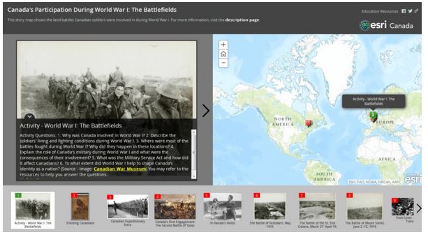
ArcGIS Online provides tools for integrating, mapping and analyzing various information. Teachers and students can access a wide range of basemaps and data to create interactive maps that explore their focus of study. They can overlay various datasets, such as population and crime rates, on a map to find correlations and gain meaningful insights. As well, they can leverage ready-to-use templates to integrate maps, text and multimedia content to effectively tell stories.
Teachers can use ArcGIS Online to create maps as instructional tools or facilitate the creation of maps by students as a learning activity. It includes an extensive and detailed help section with videos, FAQs, tutorials, forum, technical support and lessons. As well, Esri Canada has a dedicated Education and Research group that provides a wealth of resources and support to help educators get started quickly with using GIS in the classroom. Educators interested in using ArcGIS Online may contact k12@esri.ca.
Learn more about ArcGIS Online for the K-12 classroom.
See also: 5 reasons why educators should use ArcGIS Online
About Esri Canada
Founded in 1984, Esri Canada provides enterprise geographic information system (GIS) solutions that empower businesses, governments and educational institutions to make timely, informed and mission-critical decisions by leveraging the power of geography. The company distributes the world’s leading GIS software from Esri, Schneider Electric, Cityworks–Azteca Systems, Inc. and other technology partners. Headquartered in Toronto, the company serves over 10,000 customers from 16 regional offices across Canada. Esri Canada has joined the elite rank of Canada’s Best Managed companies and has been named to the Branham300. Information about the company can be found at esri.ca. Follow Esri Canada onTwitter, Facebook, YouTube and LinkedIn.