Wow, I’m simply loving this one! During my morning crawl around the web for interesting “Geo” news announcements I was surprised to notice a little gem from of all companies, Nature Valley – yes indeed, the guys who make those awesome, healthy bars that you may have enjoyed. Interesting to note, have you ever checked out their website at http://www.naturevalley.com? It’s actually quite impressive to see the focus on nature, the outdoors and geography… oh, there’s also some info about their products buried there too! Back to the news.. so today the company has announced details of Nature Valley Trail View, a visually stunning and immersive experience for outdoor enthusiasts to plan trips and explore trails.. hundreds of miles of trails. At the heart of the web service is an impressive WMS and stunning imagery, loads of it! Pan around the map, zoom in to view hiking trails, get information about interesting places and POIs, click on icons and view stunning photos and videos (300 miles of trail videos) … this is truly awesome.
This is a terrific example of taking GIS and Geo technology to the masses and to the mainstream for a practical business use. This isn’t about GIS or Geo Technology, rather, this is just another fine example of how the Geo professionals can think about unlocking their valuable Geo data and serving it up in an innovative way for a client that you may not have considered approaching. Check out this video where Trail View was announced at SXSW and of note, see Pete Cashmore (Mashable) comments… kind of funny I think how Cashmore almost implies that Nature Valley has invented a great idea here! Perhaps a wakeup call as to how GIS professionals have really locked up their data and apps and now mainstream business are getting much attention and accolades for implementing technology that you’ve all worked on for many years but have never really told the World about!
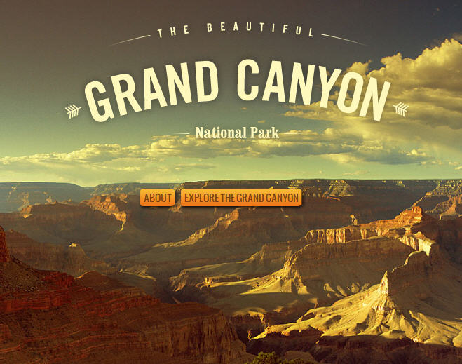
Check out the resource at http://www.naturevalleytrailview.com and explore the Grand Canyon, Yellowstone Park, and the Great Smokey Mountains.
 http://www.naturevalleytrailview.com/ – See also this video from SXSW
For complete details See – Nature Valley Launches First Ever Street-View Style National Parks Experience