Modern navigation systems rely heavily on precise geolocation data, and the iPhone has become a key device in delivering that capability. From everyday commuting to field data collection in GIS workflows, GPS accuracy directly influences the reliability of mapping and navigation applications. Variations in signal quality, hardware calibration, and environmental conditions can all affect positional precision, ultimately shaping the user experience and data integrity.
1. Fundamentals of iPhone GPS Accuracy
iPhone GPS functionality is based on a combination of satellite signals (GPS, GLONASS, Galileo, and QZSS), assisted positioning, and sensor fusion. The device calculates its position by triangulating signals from multiple satellites while supplementing this data with Wi-Fi networks, cellular towers, and onboard sensors such as accelerometers and gyroscopes.
Key components influencing accuracy:
- Satellite visibility and geometry
- Signal strength and atmospheric conditions
- Assisted GPS (A-GPS) data from networks
- Internal sensor calibration
This hybrid approach improves performance in urban environments where direct satellite signals may be obstructed, but it also introduces dependencies that can vary by location and usage scenario.
2. Impact on Mapping and Navigation Precision
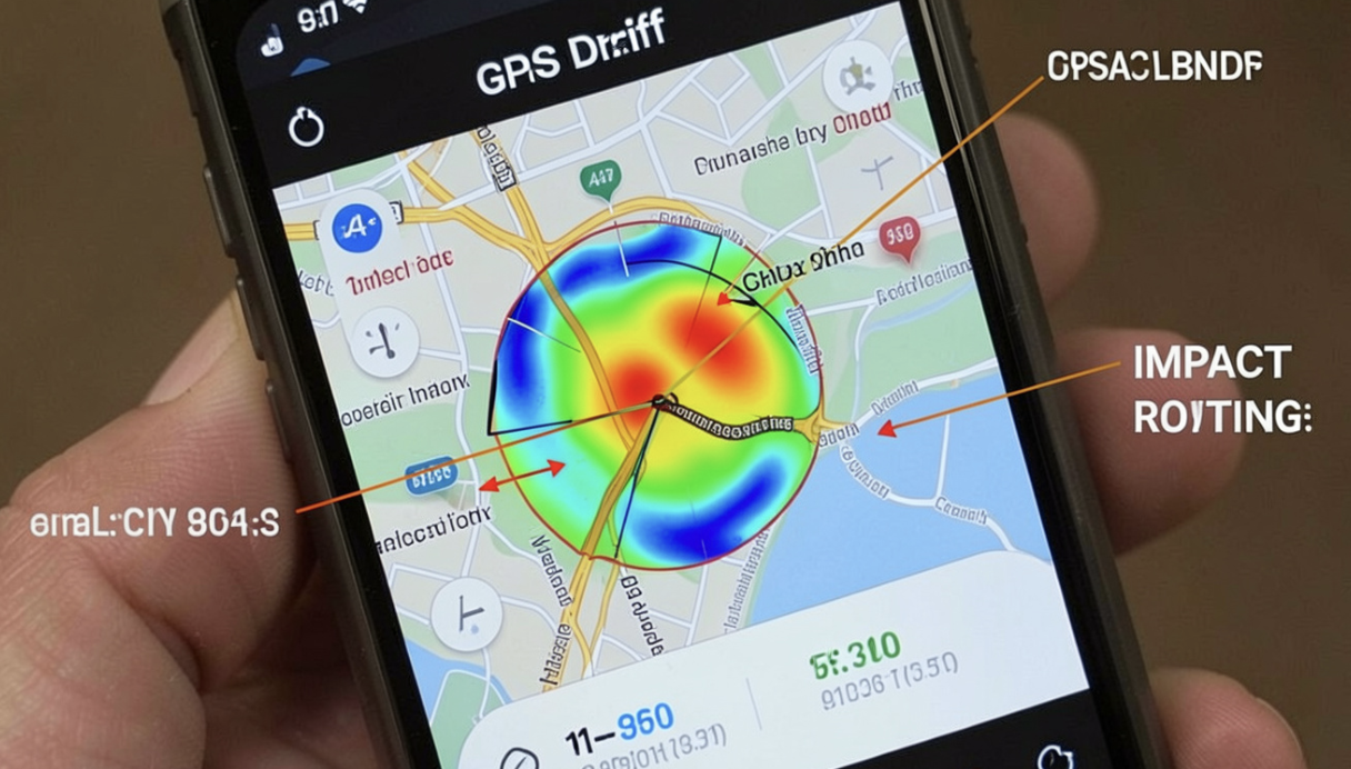
GPS accuracy is a critical factor for mapping and navigation applications such as Google Maps, Apple Maps, and GIS-based tools. Even minor deviations can lead to incorrect routing, misaligned map overlays, or delayed position updates.
Impacts include:
- Route deviations in navigation apps
- Reduced accuracy in turn-by-turn guidance
- Misplacement of geotagged data points
- Inconsistencies in real-time tracking
For GIS professionals, these inaccuracies can affect spatial analysis, asset tracking, and field data collection, where precision is often measured in meters or even centimeters depending on the application.
3. Environmental Factors Affecting Signal Quality
External conditions play a significant role in GPS performance. Dense urban environments, commonly referred to as “urban canyons,” can obstruct satellite signals and cause multipath errors, where signals bounce off buildings before reaching the device.
Additionally, practical configuration guidance can be found through resources like Expert Tips for iPhone & Mac, which explores settings adjustments that can improve location accuracy and overall device performance.
Common environmental challenges:
- High-rise buildings blocking satellite visibility
- Dense foliage in rural or forested areas
- Indoor usage limits direct satellite access
- Weather conditions such as heavy cloud cover or storms
These factors can introduce latency and reduce positional accuracy, especially when the device relies more heavily on assisted positioning methods.
4. Role of Software Optimization and User Settings
Software optimization within iOS and third-party apps can significantly influence GPS performance. Efficient handling of location data, frequency of updates, and background processing all contribute to accuracy and responsiveness.
For users seeking deeper insights into optimizing device performance and location services, Apfelpatient – Your Source for Apple News and Insights provides ongoing analysis of Apple ecosystem developments, including updates that impact GPS functionality and system-level location handling.
Optimization factors:
- Location Services permissions per app
- Precision settings (Precise Location vs. approximate)
- Background app refresh behavior
- System-level location calibration
Proper configuration ensures that apps receive the most accurate data possible without unnecessary battery consumption.
5. Integration with Wearables and Health Tracking
iPhone GPS is also closely integrated with wearable devices, particularly in fitness and health tracking scenarios. Accurate location data is essential for measuring distance, speed, and activity patterns in real time.
This integration extends into health monitoring ecosystems, where devices collect and interpret physiological and environmental data. A related discussion can be found in analyses of Apple Watch & Traditional Medical Devices, which highlights differences in data accuracy, usage context, and reliability between consumer wearables and clinical-grade equipment.
In navigation and tracking use cases, this interconnected system enhances functionality but also increases reliance on consistent GPS performance across devices.
6. Implications for GIS and Professional Applications
For GIS users and professionals, GPS accuracy on iPhone devices can influence data quality in field operations. While iPhones are not designed as high-precision surveying instruments, they are widely used for preliminary data collection and mobile mapping tasks.
Practical implications:
- Field data may require post-processing correction
- Accuracy thresholds vary by application and environment
- Supplementary tools may be needed for high-precision workflows
Despite limitations, iPhones remain valuable tools due to their portability, ecosystem integration, and ease of use, especially when combined with cloud-based GIS platforms.
Conclusion
iPhone GPS accuracy plays a foundational role in the effectiveness of mapping and navigation applications. While Apple’s multi-layered approach to location services enhances reliability, accuracy is still influenced by environmental conditions, software configuration, and device usage patterns.
For both casual users and GIS professionals, understanding these variables is essential to interpreting location data correctly and optimizing workflows that depend on precise geospatial information.