GIS user technology news

News, Business, AI, Technology, IOS, Android, Google, Mobile, GIS, Crypto Currency, Economics

  • Advertising & Sponsored Posts
    • Advertising & Sponsored Posts
    • Submit Press
  • PRESS
    • Submit PR
    • Top Press
    • Business
    • Software
    • Hardware
    • UAV News
    • Mobile Technology
  • FEATURES
    • Around the Web
    • Social Media Features
    • EXPERTS & Guests
    • Tips
    • Infographics
  • Blog
  • Events
  • Shop
  • Tradepubs
  • CAREERS
You are here: Home / * PRESS / Business / OceanWise awarded the UK National Tide Gauge Contract

OceanWise awarded the UK National Tide Gauge Contract

September 7, 2021 By GISuser

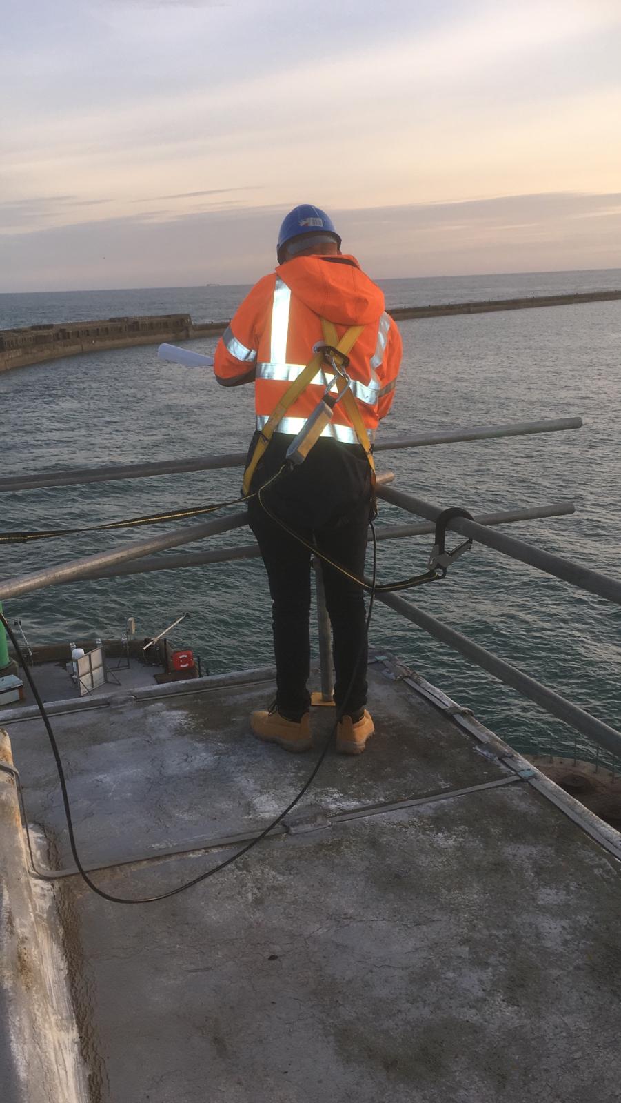
The prestigious ‘National Tide Gauge Network’ (NTGN) contract from the Environment Agency (EA), who own and operate 42 ‘Class A’ tide gauges on behalf of the UK Coastal Flood Forecasting (UKCFF), has been awarded to OceanWise Ltd who alongside RS Divers, will deliver this multi-year contract.

As our Managing Director, Dr Mike Osborne explains, “We are delighted to have been given the responsibility of maintaining the NTGN on behalf of the nation. We already support and maintain numerous tide gauges, as well as weather stations, around the UK for our port customers, so this contract is a natural extension of our work. We are particularly looking forward to working with the EA and NOC to upgrade the network, using our expertise and experience in sensor, and data acquisition and management technologies, whilst at the same maintaining and enhancing the legacy ‘bubbler’ based systems to improve the reliability and quality of the data overall“.

The purpose of the (NTGN) is to observe sea level throughout the UK in near real-time, as input to monitoring and forecasting coastal surge, and to provide a long-term and strategic record for climatological and coastal engineering studies. The network currently consists of 21 sites in England, 10 in Scotland, 7 in Wales, 2 in Northern Ireland, 1 in Jersey and 1 in the Isle of Man.

The data provided by the network of gauges is also used by academics and researchers for a variety of other scientific purposes. Several of the gauges are part of the Global Sea Level Observing System (GLOSS) and are of international and historical significance, with some datasets dating back to the 18th century.

See our case studies page for a wide range of project examples, testimonials and other contract wins.

Image: An OceanWise site engineer servicing a tide gauge at a UK Port

Filed Under: Business, Environment Tagged With: OceanWise

Editor’s Picks

Free Data from USGS Proves Its Worth for Observing Earth

A Possible Date Conflict with 2016 ESRIUC and the MLB All Star Game

Maps attributed to the 13th-century traveler sketch what looks like the coast of Alaska

Have Infographics and Data Visualizations Ruined Good Map Design?

See More Editor's Picks...

Recent Industry News

The Drift Between Early Notes and Final Case Files in Abuse-Related Legal Support

April 29, 2026 By GISuser

Aerial Surveys Int’l and Global Marketing Insights to Present GEOINT 2026 Workshop on Multi-Domain Geospatial Fusion for Automated Infrastructure Monitoring

April 24, 2026 By GISuser

Why Timing Matters More Than You Think With Spray Seal (And Why People Often Get It Slightly Wrong)

April 22, 2026 By GISuser

The Quiet Planning Stage Most People Don’t See When Building a Pool in Brisbane

April 22, 2026 By GISuser

Hot News

State of Data Science Report – AI and Open Source at Work

HERE and AWS Collaborate on New HERE AI Mapping Solutions

Virtual Surveyor Adds Productivity Tools to Mid-Level Smart Drone Surveying Software Plan

Categories

Copyright gletham Communications 2015 - 2026

Go to mobile version