Fly in almost all of Europe without asking permission or getting authorization
ROME, Nov. 5, 2020 — There can be no doubt that DJI Mavic Mini has been a hit with consumers, and even with many professionals. The tiny wonder-drone weighs but 249 grams, which puts it under the 250-gram limit at which drones require registration in many countries – and pilots require some sort of accreditation. By deliberately getting in the game just under that limit, DJI made owning and operating a drone vastly more accessible for those unenthused by the prospect of learning about airspace law, etc.
DJI Mini 2 price is € 459,00 and the DJI Mini 2 Combo price is € 599,00
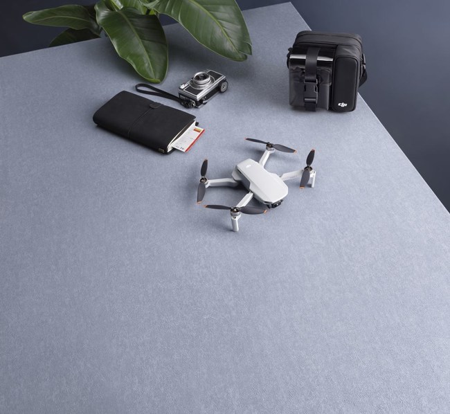
DJI Mini 2 boasts a foldable design and an ultralight weight of less than 249 grams. Featuring a Downward Vision System and Infrared Sensing System, DJI Mini 2 can hover and fly indoors as well as outdoors and automatically initiate Return to Home (RTH).
With a fully stabilized 3-axis gimbal and 1 / 2.3″ sensor camera, DJI Mini 2 shoots 4K video and 12MP photos. Enjoy intelligent Flight modes such as QuickShots and Panorama, while Quicktransfer and trimmed Download make downloading and editing photos and videos more convenient and efficient.
DJI Mini 2 comes equipped with the DJI RC-N1 remote controller, which boasts DJI’s long-range transmission OCUSYNC 2.0 technology, offering a maximum transmission range of 10 kilometers and video quality of up to 720p from the aircraft to the DJI Fly app on a mobile device. The remote controller works at both 2.4 Ghz and 5.8 Ghz and is capable of selecting the best transmission channel automatically without latency. The aircraft and camera can easily be controlled using the onboard buttons.
DJI Mini 2 has a maximum flight speed of 57.6 Kph and a maximum flight time of 31 minutes, while the maximum runtime of the remote controller is six hours.
DJI Mini 2 is distributed in Italy from DJI Authorized Retail Store online and two official Stores in Rome (DJI Ars Rome) and Milan (DJI Ars Milan).
In Italy, it is possible to flight DJI Mini 2 without any authorization and permit due to the limited weight under 250 grams.
In whole Europeyou can buy an official insurance from DJI called DJI Care Refresh. The DJI Mini 2 Care Refresh 1 year covers two incidents. The DJI Mini 2 Care Refresh 2 years covers three incidents.