GIS user technology news

News, Business, AI, Technology, IOS, Android, Google, Mobile, GIS, Crypto Currency, Economics

  • Advertising & Sponsored Posts
    • Advertising & Sponsored Posts
    • Submit Press
  • PRESS
    • Submit PR
    • Top Press
    • Business
    • Software
    • Hardware
    • UAV News
    • Mobile Technology
  • FEATURES
    • Around the Web
    • Social Media Features
    • EXPERTS & Guests
    • Tips
    • Infographics
  • Blog
  • Events
  • Shop
  • Tradepubs
  • CAREERS
You are here: Home / * PRESS / Software / Latest SuperGIS Desktop 3.3 Is Now Available

Latest SuperGIS Desktop 3.3 Is Now Available

April 27, 2016 By GISuser

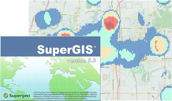
Supergeo has recently released the latest version of SuperGIS Desktop 3.3! In this latest version of 3.3.004, our product developing team has added several new capabilities to enhance the user experience. 

First, manipulation of layers has become easier. Users now can use keyboard shortcuts to select multiple layers and then remove or group them in great speed. Second, this latest version also strengthens the capability of “Select by Attributes”. The new quick query allows you to enter the attribute you want and finds the corresponded attribute immediately. It is especially practical while you want to build a query expression among numerous attributes. Furthermore, the display of map symbol has also been improved. By using the new text format options, the number of digits can also be decided by your demand, so you can cut the extra long numbers and execute GIS tasks with much clearer map symbols.

SuperGIS Desktop is a well-designed GIS platform, which will help geospatial professionals to display, edit, manage, query, and analyze spatial data in a more efficient and intuitive way. Except general GIS manipulations, it also supports diverse geodatabases and OGC formats, assisting users to process large and complicated spatial data efficiently. In summary, SuperGIS Desktop can meet various needs of geospatial data processing.

Experience these new capabilities now:
http://www.supergeotek.com/download_6_desktop.aspx

Or contact us directly by:
staff@supergeo.com.tw
 

Filed Under: Software Tagged With: SuperGeo, SuperGIS

Editor’s Picks

FireWhat? Mobile GIS Lab, Emergency Incident Mapping and HP Mobile Workstations

HUD and Zillow Hacking for Affordable housing

Global Mapper 17.2 Released with New Map Book Creation Tool and Cutaway Terrain View

Device Spotlight – Trimble R1 GNSS Receiver

See More Editor's Picks...

Recent Industry News

New Episode Alert: The Colorado State University (CSU) Drone Center

September 10, 2026 By GISuser

Increase Rev vs. Google AdSense: Unlocking 50%–200% Higher Earnings

August 17, 2026 By GISuser

From Simulator to Open Air: A Practical Start to FPV Flying Safely

August 14, 2026 By GISuser

Pop-Up Card Wallets vs Traditional Slim Wallets: Which Is Better?

August 11, 2026 By GISuser

Hot News

State of Data Science Report – AI and Open Source at Work

HERE and AWS Collaborate on New HERE AI Mapping Solutions

Virtual Surveyor Adds Productivity Tools to Mid-Level Smart Drone Surveying Software Plan

Categories

Copyright gletham Communications 2015 - 2026

Go to mobile version