GIS user technology news

News, Business, AI, Technology, IOS, Android, Google, Mobile, GIS, Crypto Currency, Economics

  • Advertising & Sponsored Posts
    • Advertising & Sponsored Posts
    • Submit Press
  • PRESS
    • Submit PR
    • Top Press
    • Business
    • Software
    • Hardware
    • UAV News
    • Mobile Technology
  • FEATURES
    • Around the Web
    • Social Media Features
    • EXPERTS & Guests
    • Tips
    • Infographics
  • Blog
  • Events
  • Shop
  • Tradepubs
  • CAREERS
You are here: Home / * PRESS / EDU / No-Cost Online GIS Courses on SupergeoTV to Enrich Geospatial Knowledge

No-Cost Online GIS Courses on SupergeoTV to Enrich Geospatial Knowledge

February 3, 2015 By GISuser

To facilitate more GIS users and non-GIS professionals with deep understanding in geospatial technology, further applying GIS to diversified domains, Supergeo, the leading GIS solution provider, launches free online courses with abundant learning materials.

Supergeo devotes itself to developing state-of-the-art GIS technology and assisting personnel from various industries to address different tasks with spatial information. A comprehensive series of online courses, based on SuperGIS as operating practices, are launched to support users to fully understand the basic concepts of GIS and GIS software manipulation.

SuperGIS Online Courses are easy to understand, suitable for beginners to comprehend the operation on different platforms with real case scenarios. In addition to complete course slides and operating video, the courses also come with practical exercises and interesting quizzes. Users can examine their learning outcomes instantly and internalize it into personal capacity, to advance future career development.

The courses include,
– Desktop GIS and Analyst Extensions, SuperGIS Toolkit, satellite image processing, etc.
– Server GIS and map service publishing, customization by JavaScript, mobile application SDK, etc.
– Mobile GIS: GIS data collection on Windows, iOS and Android devices, GPS track record, AR and guiding point, etc.

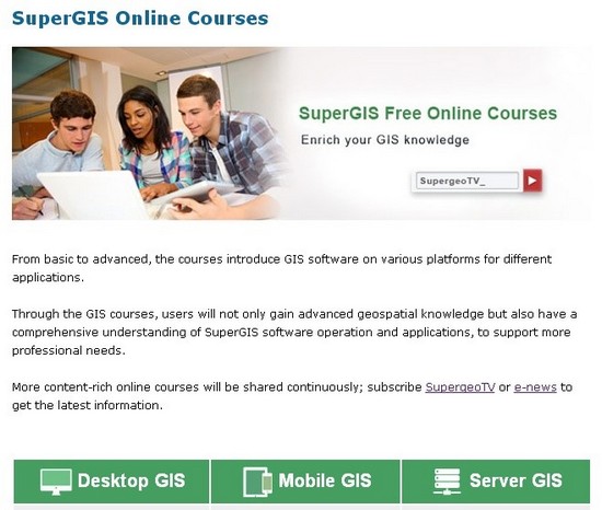
Learn GIS freely online on SupergeoTV (Subscribe for the latest course information)
http://www.supergeotek.com/support_online_courses.aspx

Advanced GIS Resources – Webinars
http://www.supergeotek.com/support_WebinarArchives.aspx


Filed Under: EDU Tagged With: Geospatial Knowledge, SuperGeo, SuperGIS, training

Editor’s Picks

Top 10 Online Local Search and Map Services Where your Business HAS to be listed!

Google recruits a camel as a Trekker to map Street View desert

Mapping Water Use: Landsat and America’s Water Resources

HxGN LIVE 2015 – Great Stories Continue with the Hexagon Geosystems Track

See More Editor's Picks...

Recent Industry News

Why Adults Are Trimming Their Routines for Travel and Busy Weeks

June 10, 2026 By GISuser

Top Benefits of AI Video Surveillance for Businesses and Public Spaces

June 5, 2026 By GISuser

How to Choose the Best Office Interior Designers in Delhi for End-to-End Projects

June 3, 2026 By GISuser

Why Bathroom Renovation Services Often Change More Than Just the Bathroom

May 20, 2026 By GISuser

Hot News

State of Data Science Report – AI and Open Source at Work

HERE and AWS Collaborate on New HERE AI Mapping Solutions

Virtual Surveyor Adds Productivity Tools to Mid-Level Smart Drone Surveying Software Plan

Categories

Copyright gletham Communications 2015 - 2026

Go to mobile version