Esri has recently announced another webmapping resource to track social media feedback and news for areas affected by sever weather. The US Flood Disaster interactive map enables anyone to quickly and easily view U.S flood related data (flooding and precipitation data) from NOAA and the NWS on a basemap (optional view on a topo or satellite imagery). Additionally, the map also provides viewing of geotagged social media content from twitter, Flickr, and Youtube providing recently reported crowd-sourced data from the local population. See the Esri Flood Disaster Map HERE
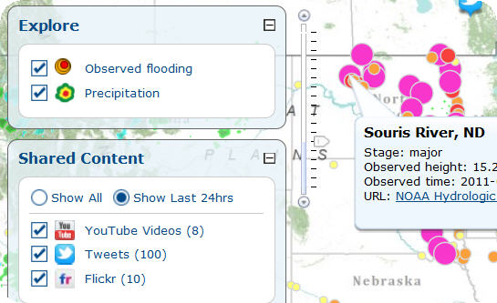

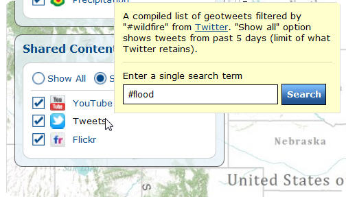
Note, when using the social map users can quickly share the resource with followers using the facebook or Twitter share option (see buttons beside the "locate" diaslog box which is used to search and quickly move to a geographic area of interest. What many users may not realize is that the service can be easily used to search and view social media content about any other topic of interest. For example, social media posts about the recent devastation in the US South can be seen by changing the social search parameter to "tornado". To do so, simply mouse-over the YouTube, Flickr, or Tweets area of the "Shared Content" dialog box on the left side of the display.

Note, further North the St. Louis County and City tornado map has been created, powered by Ushahidi, showing news and reports from tornado damaged regions in the county. See St Louis Ushahidi http://stlouistornado.crowdmap.com/