October 26, 2015 — Teledyne Optech is pleased to announce that Senior Scientist Dr. Viktor Feygels will make a presentation on performing lidar bathymetry in difficult water conditions with the Optech CZMIL Nova at the Oceanology International China (OI China) 2015 Conference and Exhibition, which takes place in Shanghai on November 3-5.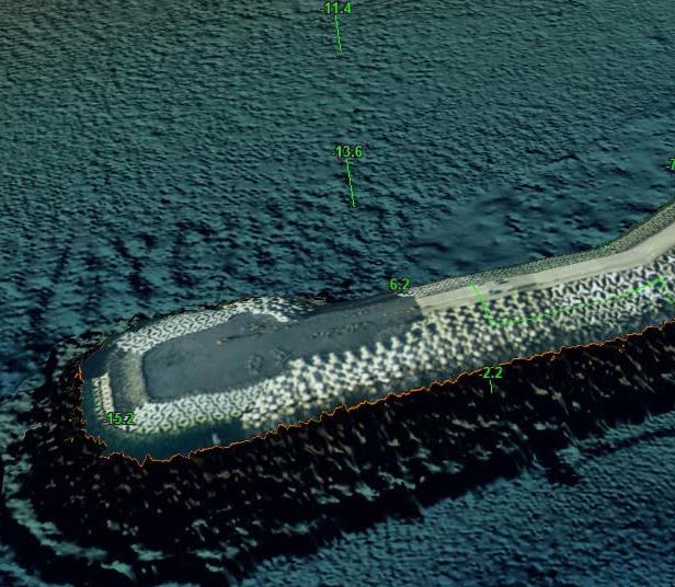
The presentation, titled “Airborne Lidar Surveys in the China Region: Society Requests and Prospective Results”, will examine the use of airborne oceanographic lidars like the Optech CZMIL Nova for transportation safety, navigation, sea fishing and other industries. Dr. Feygels will show how CZMIL’s high-energy laser, short system response function, increased receiver sensitivity, and high point density enable it to penetrate deep into the Asia-Pacific region’s turbid waters in all seasons. Finally, Dr. Feygels will delve into CZMIL’s more complex deliverables, and show how authorities and enterprises can use it to map foreshore erosion, bio-productivity of aquatories, bottom habitat states, and more. This presentation will take place at the Ocean Observing & Instrumentation session on November 4.
At booth B70, interested groups can learn how they can lease the system through the CZMIL Project Program to take advantage of these abilities themselves. While several government agencies have already purchased their own CZMIL systems, the Project Program makes the system available even to mid-sized companies on a project basis, along with its award-winning Optech HydroFusion software workflow. Companies that want to have their own lidar bathymeter can also consider the Optech Titan multispectral lidar. On land, this topo/bathy system employs three laser channels (two infrared and one green) to create extremely dense multispectral point clouds, while as a bathymeter it measures depths greater than 20 meters in clear waters, providing great flexibility for all survey projects.
Find out more at booth B70 and www.teledyneoptech.com.
About Teledyne Optech
Teledyne Optech is the world leader in high-accuracy lidar 3D survey systems, integrated cameras, and productivity-enhancing workflows. With operations and staff worldwide, Teledyne Optech offers both standalone and fully integrated lidar and camera solutions for airborne mapping, airborne lidar bathymetry, mobile mapping, terrestrial laser scanning, mine cavity monitoring, and industrial process control, as well as space-proven sensors. Teledyne Optech supports its clients with an around-the-clock team, on-site service, and regular efficiency enhancements to the workflow of its integrated systems. Accuracy and productivity matter!
