Estonian Railways and technology company Hepta Airborne conducted a successful pilot project, which applied innovative inspection methodologies to map railway infrastructure faster and without the need to stop railway traffic, while also increasing the safety of railway employees. Conducting railway utility inspections with traditional methods is hazardous and time-consuming work that must be streamlined in the future.
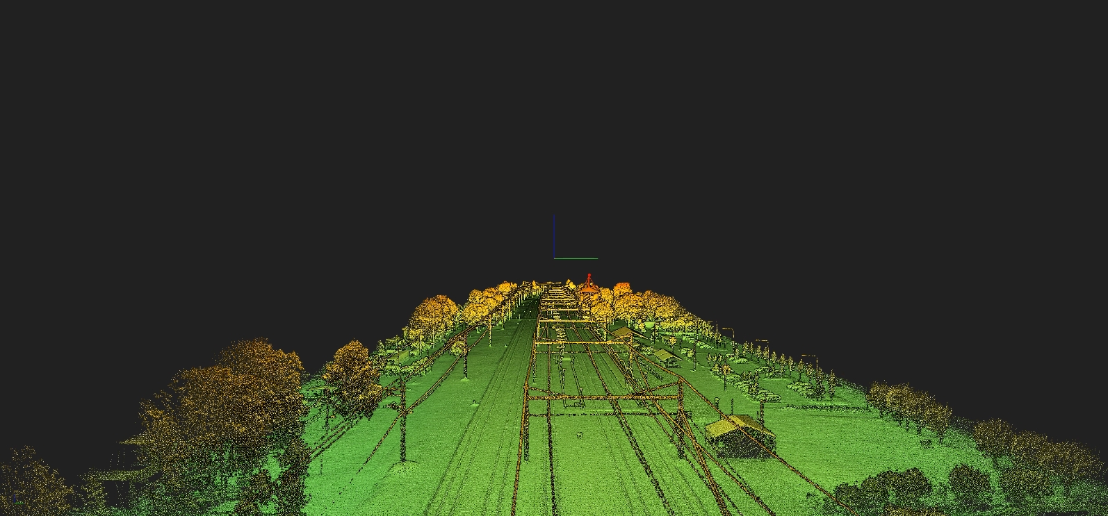
Every infrastructure company covets a completely digitized three-dimensional overview of its physical assets in an easy-to-use environment. Drones play a significant role in penetrating conventional inspection spheres with safe and cost-efficient data acquisition. However, the terabytes of sensory data collected with drones create new technological bottlenecks. Thus, owners of infrastructure assets, such as railways, seek new ways to integrate novel AI-driven data analysis software tools with modern drone programs.
To date, measuring and documenting railway infrastructure has been done manually, with employees walking the railroad and under the lines. Poles and the angles of crossings of pylons, for example, involve working in a potentially immediate danger area, with even more risks due to the low noise and quick speed of electric trains. People who are focused on their work pay less attention to their surroundings, which potentially can cause accidents relatively easily. When inspecting such infrastructure with drones, people or aerial vehicles are able to avoid harm’s way.
“Railway utility inspection is currently conducted visually by our employees visiting the objects on-site. Our wish is to automate this process and find ways to evaluate utilities’ conditions using modern solutions. The Estonian Railway has a strong interest in developing data systems to have a good overview of the infrastructure. Therefore we were glad to conduct a pilot project with Hepta Airborne. Our goal is to digitize the whole railway grid in Estonia to improve inspection and maintenance,” said Andrus Alas, the Head of Electricity Networks in Estonian Railways.
The pilot project involved mapping as well as detecting defects of the railway utilities in uBird software. uBird helps speed up fault finding, mapping infrastructure object positions, and creating actionable reports for maintenance teams.
“Mapping railway infrastructures takes precision, and solutions that add speed to the manual work are in demand. Data gathered with drones and analyzed by Hepta Airborne in uBird software provides additional input for EVR internal geoinformation system, which maps their assets, “ explained Hepta’s CEO Henri Klemmer.
According to Klemmer, railway infrastructure is a new area that Hepta Airborne is entering. The benefits that power line utility owners already get from drone inspection and the uBird platform can also be applied to a railway.
The project was conducted in cold weather with minus temperatures. The temperature was not an issue for the technology. For thermal images, the minus temperatures even are welcomed. The more significant the difference between the air temperature and the insulator, the easier it is to detect anomalies. One of the problems was the small amount of daylight time. Storm inspections, LiDAR, and thermal photos can be conducted even in the night-time, but high-resolution photos and orthomosaics require daylight. The goal, to get actionable data for setting a better focus for future inspections, was achieved.
Estonian AI-driven technology company Hepta Airborne automates the analysis of power lines by utilizing drones, helicopters, satellites, and big data analysis. The AI-driven software “uBird” finds defects and potential risks to prevent future failures and save costs and time. Unmanned airborne systems, built in-house, cover an average of 10x more distance, in both daytime and nighttime, while withstanding harsh weather conditions.
Additional services include real-time fast response storm damage detection while conducting over 90% of daily flights in Beyond Visual Line of Sight. Hepta Airborne has been trusted to digitize more than 40,000 kilometers of power line networks in Estonia, Germany, Portugal, Finland, and Ukraine. Hepta is supported by EIT InnoEnergy, the innovation engine for sustainable energy across Europe, and the European Institute of Innovation and Technology.