Successful Service Bureau and Reseller Helps Customers Easily Obtain Contex Scanners with Range of Cooperative Contracts
Chantilly, VA — August 23, 2019 — Contex, the world leader in large format scanning, announces the 15-year anniversary of Contex customer and reseller DataXport. Based in El Paso, DataXport is a state-certified Historically Underutilized Business (HUB) and a minority- and women-owned enterprise. The company opened in 2003 as a service bureau and began using Contex large format scanners the following year. Today, DataXport offers document imaging, electronic document management, business process outsourcing, and contact center operations. The company also resells Contex scanners and holds four cooperative contracts that streamline the buying process for public sector organizations throughout the U.S.
The cooperative contracts include the Texas Department of Information Resources (DIR); Education Service Center Region 19, Allied States Cooperative (Region 19); The Interlocal Purchasing System (TIPS); and BuyBoard Purchasing Cooperative.
“When we started our business, we knew we wanted the best solutions. We wanted something reliable, that we trusted and could recommend to clients. Once we found the Contex scanners, we didn’t want to switch to any other,” comments Beatriz Fernandez, DataXport Business Development Director.
“DataXport provides a great service to their customers, and one of the ways they achieve this is with Contex’s high-quality scanning solutions,” comments Steve Blanken, General Manager, Contex Americas. “State agencies, universities, counties and cities, among others, benefit from DataXport’s expertise and their efficiencies, and we are happy to celebrate this notable milestone with them.”
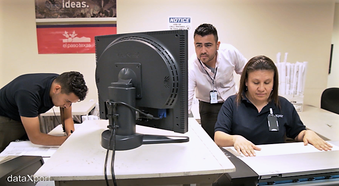
DataXport provides scanning services to customers using two Contex HD Ultra wide format scanners. The services range from one-time backlog conversions to recurring scanning projects, averaging more than 100 million pages a year.
For more information, visit a www.contex.com or send email to salesamericas@contex.com.
About Contex
As the world’s leading developer and producer of large format imaging solutions, Contex leads the market with innovative technology and advanced scan and copy software applications. Sold worldwide in more than 100 countries, Contex solutions are recognized in a wide range of industries for reliability, value, high performance, and superb image quality. For more information, please visit www.contex.com.