GIS user technology news

News, Business, AI, Technology, IOS, Android, Google, Mobile, GIS, Crypto Currency, Economics

  • Advertising & Sponsored Posts
    • Advertising & Sponsored Posts
    • Submit Press
  • PRESS
    • Submit PR
    • Top Press
    • Business
    • Software
    • Hardware
    • UAV News
    • Mobile Technology
  • FEATURES
    • Around the Web
    • Social Media Features
    • EXPERTS & Guests
    • Tips
    • Infographics
  • Blog
  • Events
  • Shop
  • Tradepubs
  • CAREERS
You are here: Home / * PRESS / Business / SimActive Announces New Pricing for Larger Drone Cameras

SimActive Announces New Pricing for Larger Drone Cameras

July 19, 2023 By GISuser

Montreal, Canada, July 18th., 2023 – SimActive Inc., a world-leading developer of photogrammetry software, announces new pricing for its Correlator3D software.  Larger drone cameras of up to 61 megapixels are now covered under the low-priced UAV license option, which was previously capped at 50MP.
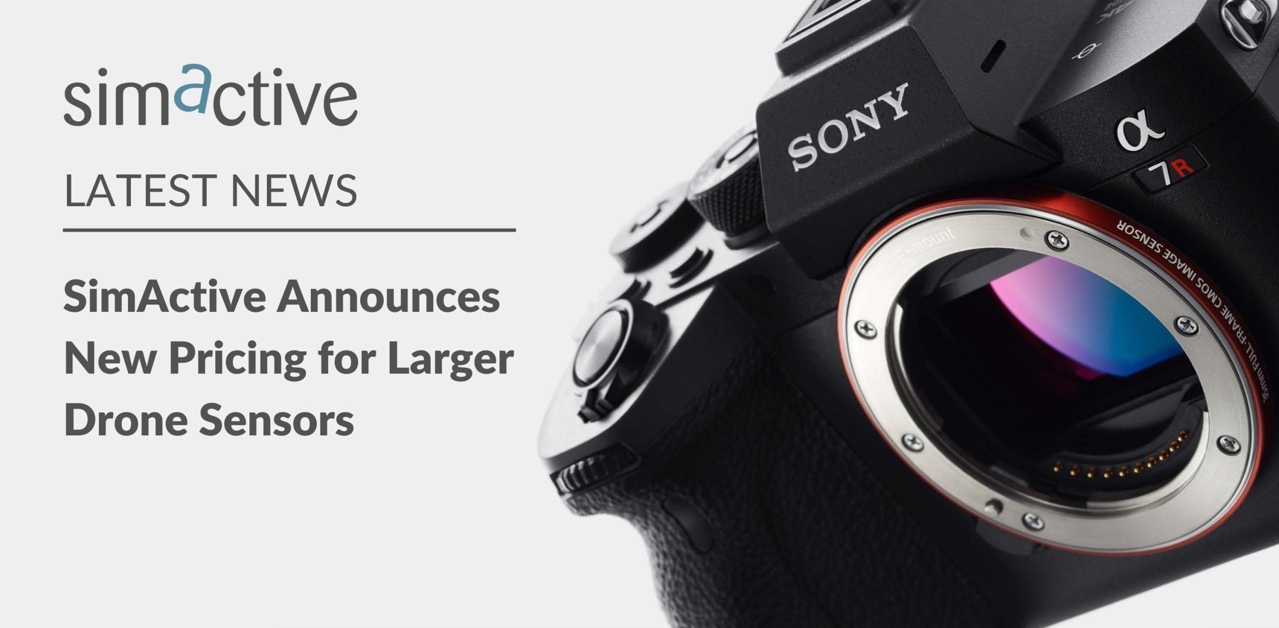
The new pricing addresses the rising demand for bigger drone sensors, such as the Sony A7R IV. Originally developed for large format cameras mounted on aircraft which generate frames at more than 350MP, Correlator3D is a natural fit.

“We are known for our ability to process larger datasets at faster speeds”, said Dr Philippe Simard, CEO of SimActive.  “With this new affordable option for drones, it makes us by far the best solution out there.”


About SimActive

SimActive is the developer of Correlator3D™ software, a patented end-to-end photogrammetry solution for the generation of high-quality geospatial data from satellite and aerial imagery, including drones. Correlator3D™ performs aerial triangulation (AT) and produces dense digital surface models (DSM), digital terrain models (DTM), point clouds, orthomosaics, 3D models and vectorized 3D features. Powered by GPU technology and multi-core CPUs, Correlator3D™ ensures matchless processing speed to support rapid production of large datasets. SimActive has been selling Correlator3D™ to leading mapping firms and government organizations around the world, offering cutting-edge photogrammetry software backed by exceptional customer support. For more information, visit www.simactive.com.

Filed Under: Business, Hardware, Top Text Lead Story, UAV/UAS Tagged With: Camera, UAV

Editor’s Picks

Botswana Geoscience Portal goes live

Mapping Water Use: Landsat and America’s Water Resources

Twitter feed and map provide real-time water, weather and flood forecasting for Texas

Esri Helps Developers Add Geo to Apps at TechCrunch Disrupt NY 2016

See More Editor's Picks...

Recent Industry News

Increase Rev vs. Google AdSense: Unlocking 50%–200% Higher Earnings

August 17, 2026 By GISuser

From Simulator to Open Air: A Practical Start to FPV Flying Safely

August 14, 2026 By GISuser

Pop-Up Card Wallets vs Traditional Slim Wallets: Which Is Better?

August 11, 2026 By GISuser

Comment les PME et commerçants du Québec optimisent la livraison du dernier kilomètre pour fidéliser leurs clients

August 8, 2026 By GISuser

Hot News

State of Data Science Report – AI and Open Source at Work

HERE and AWS Collaborate on New HERE AI Mapping Solutions

Virtual Surveyor Adds Productivity Tools to Mid-Level Smart Drone Surveying Software Plan

Categories

Copyright gletham Communications 2015 - 2026

Go to mobile version