Parrot, a leading European drone group, is pleased to announce today that it has teamed up with three leading UAV training organizations to launch the Parrot Certified Training Programs for professional users across the public safety, enterprise, government & defense verticals. Graduates of the program will receive a Parrot Professional Pilot Certificate, specialty education, training, and experience to make the most of the innovative Parrot ANAFI USA and Parrot ANAFI Ai UAV systems.
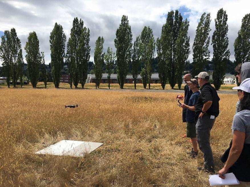
The Parrot Certified Training Program is a flight training course designed to ensure that ANAFI USA and ANAFI Ai professional pilots operate safely, effectively, and efficiently. Courses will provide a system-specific training consisting of both ground and flight certifications.
The Parrot Professional Pilot Certificate ground component provides pilots with the foundational knowledge needed to operate in the National Airspace System, familiarity with the ANAFI USA or ANAFI Ai platforms, and the skills required to start flight training. The flight portion of the Parrot Professional Pilot Certificate will teach pilots to fly in National Airspace System through hands-on, real-world exercises. These exercises provide professional pilots with the confidence and skills to successfully operate the system.
Parrot has partnered with Skyfire, Unmanned Safety Institute, and Rocky Mountain Unmanned Solutions to provide tailored training to all sectors of the UAS industry to get the most out of their ANAFI USA or ANAFI Ai. More partners will be added as the program develops and scales across North America.
Skyfire
Skyfire Consulting, the most trusted and experienced public safety UAS consulting group, has trained hundreds of public safety and critical sector professionals across all 50 states and internationally. Skyfire is a perfect Parrot Certified Training Partner for public safety to hone their skills and achieve the Parrot Professional Pilot Certification and additional knowledge in thermal imagining/SAR, scene reconstruction, and SWAT/Tactical operations with the Parrot ANAFI Platforms.
“For close to a decade, Skyfire has earned the trust of hundreds of public safety, military and industry professionals through our leading UAS training; and we are thrilled to now bring this expertise to Parrot customers,” said Matt Sloane, Skyfire founder and CEO. “Skyfire training is designed and led by our staff of industry veterans with years of mission experience, both domestic and international, and our training clients benefit from that first-hand knowledge.”
Learn more about Skyfire at skyfireconsulting.com