The CZMIL SuperNova is powered by Teledyne CARIS processing software for creation of seamless topo/bathy data products
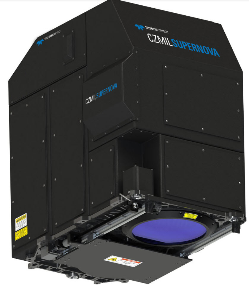
Vaughan, CANADA, June 15, 2021 ─ Teledyne Optech and Teledyne CARIS, both Teledyne Technologies [NYSE:TDY] companies and global leaders in advanced lidar sensors and marine mapping software, announce their next generation bathymetric lidar, the CZMIL SuperNova.
The CZMIL SuperNova boasts the best depth performance and the highest green laser point density in its class. Introducing SmartSpacing technology for even and efficient point spacing, real-time processing capability for reduced post-processing time and configurable modes for maximizing performance in different water environments, the SuperNova provides a wide range of inputs for climate change modelling and is Ideal for inland water environments, base mapping for coastal zones and shoreline.
To complete the solution, Teledyne CARIS has integrated its BASE Editor software for seamless data processing capacity. Leveraging AI techniques for land/water discrimination and noise classification the CZMIL SuperNova bathymetric solution effectively delivers on marketplace demands for efficiencies in the processing workflow.
CZMIL SuperNova Product Manager Jennifer Aitken explained: “CZMIL SuperNova builds on over 30 years of experience with airborne green laser bathymetry. The ability to configure the system on-the-fly and optimize data collection for local conditions has significant benefit. We are getting plenty of signal at 600 meters altitude and even higher, so our coverage area is increasing without sacrificing depth penetration.”
For more information visit https://www.teledyneoptech.
About Teledyne Optech
Teledyne Optech is a part of the Teledyne Imaging Group and a world leader in high-accuracy lidar 3D survey systems, integrated cameras, and productivity-enhancing workflows. With operations and staff worldwide, Teledyne Optech offers both standalone and fully integrated lidar and camera solutions for airborne mapping, airborne lidar bathymetry, mobile mapping, terrestrial laser scanning, and mine cavity monitoring, as well as space-proven sensors. Teledyne Optech supports its clients with an around-the-clock team, on-site service, and regular efficiency enhancements to the workflow of its integrated systems.
About Teledyne CARIS
Teledyne CARIS is part of the Teledyne Imaging group. For 40 years, Teledyne CARIS has been the leading developer of marine mapping software. We offer a highly effective solution for near real-time processing, robust quality control of sonar data, and the creation and distribution of maps, charts, and digital datasets.