At 20x longer than nearest competitor, our beacon can help ensure your retail organization stays on top of assets and inventory
IRVING, Texas, Oct. 1, 2020 — Retailers, rejoice! Apptricity’s new 20-Mile Ultra Long-Range Beacon, which has been making waves through the technology world, is now ready to help you take control of your inventory and help you reduce cost. This new beacon, from the Apptricity Advanced Development Group, is the longest-ranging secure connection on the market, with the ability to transmit data up to 20 miles across multiple platforms and radio frequencies, including Bluetooth 4.0 and 5.0, and can be uploaded to the cloud via LTE, Satellite, Lura Wan, and others.
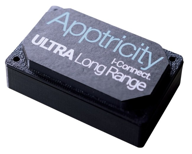
“Retailers face the challenge of tracking 1,000s of assets over a wide range of categories. Our new 20-Mile Ultra Range Beacon set up in the retail establishment can help employees track inventory in shopping carts, alert them to low stock and help prevent theft,” says Tim Garcia, CEO of Apptricity. “Combined with our retail asset management software, retailers will realize the competitive advantage and ROI that has been waiting for them.”
Highly configurable, the Ultra Long-Range Beacon can be created with or without GPS, and offer multiple battery options to extend life with encryption options available. The signal can be also be tuned for energy savings, and other capabilities can be adjusted to create a bespoke solution that works best for your retail space.
When used with our asset management solution, your business will be able to ensure inventory replenishment happens before you reach the safety stock level. It will tell you how many you have left, where it is located, what kind of shelf life it has and any expiration data that is needed.
If you have assets and inventory that needs to be tracked and managed, Apptricity’s Ultra Long-Range Beacon is the perfect solution. With a lower cost, longer distance, and a more configurable solution, we can help you reduce costs and increase security no matter how small or big your retail business is. This patent pending technology will transform an enterprise’s ability to get real-time critical business intelligence to decision makers instantly.
About Apptricity
The leader in global real-time asset management, Apptricity provides continuous asset tracking and supply chain solutions with the most clear, accurate, and dependable asset monitoring and data intelligence available. We place our clients at the center of all we do, providing them with uninterrupted access to mission critical information in real time.
For more information, visit Apptricity at www.apptricity.com or on Facebook, Twitter and LinkedIn.
SOURCE Apptricity