GIS user technology news

News, Business, AI, Technology, IOS, Android, Google, Mobile, GIS, Crypto Currency, Economics

  • Advertising & Sponsored Posts
    • Advertising & Sponsored Posts
    • Submit Press
  • PRESS
    • Submit PR
    • Top Press
    • Business
    • Software
    • Hardware
    • UAV News
    • Mobile Technology
  • FEATURES
    • Around the Web
    • Social Media Features
    • EXPERTS & Guests
    • Tips
    • Infographics
  • Blog
  • Events
  • Shop
  • Tradepubs
  • CAREERS
You are here: Home / * PRESS / Earth Imaging - Remote Sensing / DigitalGlobe Satellite Imagery: Hurricane Harvey Before/After

DigitalGlobe Satellite Imagery: Hurricane Harvey Before/After

August 31, 2017 By GISuser

On Friday evening, August 25, Hurricane Harvey slammed into the Gulf Coast of Texas, just southwest of Houston. The hurricane packed sustained winds in excess of 130 miles per hour, and has since been identified as the largest single rainmaking event in Continental U.S. history, with totals in some areas exceeding 50”.

wharton, Texas before hurricane harvey

Wharton, Texas before hurricane harvey (DigitalGlobe)


Wharton, Texas after hurricane harvey

Wharton, Texas after hurricane harvey


Simonton_TX

Simonton_TX, before Harvey – Image: DigitalGlobe


Simonton_TX

Simonton_TX, after Harvey – Image: DigitalGlobe

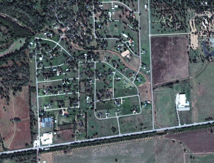
Image courtesy © 2017 DigitalGlobe.

Commercial satellite imagery company DigitalGlobe has captured eye-opening  before and after imagery documenting the devastating impact the storm had on those areas in its direct path.

Save

Save

Save

Filed Under: Earth Imaging - Remote Sensing, Environment, Top Press Tagged With: Hurricane Harvey

Editor’s Picks

Botswana Geoscience Portal goes live

Esri Launches New Site to Find Open Data

AutoCAD for Mac 2015 and AutoCAD LT for Mac 2015 Now Available

IN.gov Honored in 2014 Best of the Web Awards

See More Editor's Picks...

Recent Industry News

How to Choose the Best Office Interior Designers in Delhi for End-to-End Projects

June 3, 2026 By GISuser

Why Bathroom Renovation Services Often Change More Than Just the Bathroom

May 20, 2026 By GISuser

The Drift Between Early Notes and Final Case Files in Abuse-Related Legal Support

April 29, 2026 By GISuser

Aerial Surveys Int’l and Global Marketing Insights to Present GEOINT 2026 Workshop on Multi-Domain Geospatial Fusion for Automated Infrastructure Monitoring

April 24, 2026 By GISuser

Hot News

State of Data Science Report – AI and Open Source at Work

HERE and AWS Collaborate on New HERE AI Mapping Solutions

Virtual Surveyor Adds Productivity Tools to Mid-Level Smart Drone Surveying Software Plan

Categories

Copyright gletham Communications 2015 - 2026

Go to mobile version