Recall that it wasn’t too long ago that Esri officially announced the deprecation announcement for ArcGIS 10.1 and the upcoming release of 10.2.1 – see the support blog for details. From Esri… With the ArcGIS 10.2.1 update to the Deprecation Plan, the pattern is changing from a once-a-year release format to new updates with every release. The Deprecation Plan is also expanding to cover apps, mobile, and ArcGIS Runtime SDK products.
We were reminded of these changes by our friend Tripp Corbin from Corbin Associates who has also provided a quick look at some of the most noteworthy updates in this latest release. This from Tripp:
Esri has recently announced the release of ArcGIS 10.2.1. It has several new enhancements to ArcGIS for Desktop which I think many of us will find very useful. I have not had the chance to install this new version yet so I don’t know how stable it is. As with any new update, I recommend installing on a test box first to make sure nothing goes horribly wrong with your workflows.
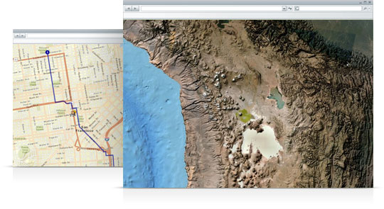
Image Credit: Esri
Here are some of the key improvements I noted:
1. New Alter Field Property tool allows you to rename a field and change its alias in a Geodatabase. – How long have we been waiting for this. The only disappointment is it will not work on a Shapefile.
2. The Generate Near Table and Near proximity tools have been completely rewritten to be faster and have an optional method parameter so you can determine how it figures out how the distances are computed. You have the options of Geodesic and Planar.
3. A completely new Conflation toolset has been added to ArcToolbox. This new toolset has 5 new tools for rubbersheeting and edgematching data. The new tools are Edgematch Features, Generate Edgematch Links, Rubersheet Features, Generate Rubbersheet Links, and Transfer Attributes. By including these in a new toolset, you will be able to use them in Models and Python Scripts.
4. Many 3D Analyst tools now support LAS files including Stack Profile, Surface Aspect, Surface Contour, and Surface Slope.
5. For those that work with geometric networks, they have added some new tools to the toolset including Find Disconnected Features, Verify and Repair Network Connectivity, and Rebuild Network
6. Python has been upgraded to Python 2.7.5 and ArcPy geometry objects now support additional methods including: cut, measureonline, snaptoline, and querypointanddistance.
7. Landsat 8 raster format is now supported
8. LAS support has been expanded to include the compressed zlas files.
9. Single field batch geocoding is now supported.
10. Support for the ISO 19139 metadata style has been added
So there are some of the key enhancements I was able to locate. If you wish to download and install this new version of ArcGIS, you will need to login to the Esri Customer Care Portal.
Related Links:
- For more handy tips from Tripp and some handy AcGIS tips be sure to check out the blog at www.egisassociates.com
- See also the ArcGIS Resource Center
- ArcGIS Features
About the Author:
Tripp Corbin, MCP, CFM, GISP | Chief Executive Officer
eGIS Associates, Inc.
www.egisassociates.com
@egisassociates