This year I was fortunate enough to get to San Diego nice and early for the ESRIUC, arriving Saturday, providing plenty of time to get acquainted with San Diego and the SDCC prior to the event kick-off.
That also meant that I was in town for the Executive seminar, an invite only event where high-level Esri customers and partners were provided with some pre-conference words from Jack Dangermond and other special guest speakers.
The event kicked off bright and early Sunday morning with a film provided by session moderator, Dr Roger Tomlinson showing off the early days of GIS at the Canada Land Inventory – laughter rang out in the room when presented with images of a young GIS pro using a dot grid to overlay maps of various data layers while diligently counting the dots in the grid – I hope none of you are still using this approach!
Some highlights from the presentation:
- Jack Dangermond… "GIS is becoming mainstream technology, increasingly being used by senior execs and policy makers" As an interesting example, Dangermond described a recent trip to China where he received a demo of a system that integrates ALL of their systems from various orgs – no small feat. A driving force for implementing this system was the issue of how to feed millions of people, where to locate them, and how to plan for the future.
- In reference to Google and Microsoft. These companies are making things simple for everyone and opening the eyes of people, their end users wanting to look deeper to see patterns and processes. the end result… GIS is helping people to collaborate.
- Enterprise GIS integrates activities and departments, improving collaboration amongst orgs. The Federal govt is a little slower getting there due to the large size or the organization and complex nature of their business processes.
- Companies like FedEx [and many others] who have invested Millions in GIS and their information systems have realized savings in the order of magnitudes.
- Discussing Patterns for GIS implementations – Desktop, Server, Federated (mashup of services to see the org as a whole), Cloud/Web + GIS are now bringing together many services.
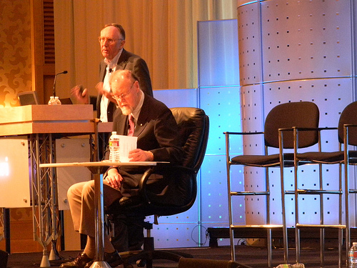
Dangermond then went into discussing ArcGIS 10 and the latest technology and solutions from Esri (this was covered in much greater detail in the Monday plenary session and subsequent technology presentations)
- ArcGIS 10 – a complete system for geographic info
- Much easier, more powerful, makes geog info available to everyone
- Connects to a cloud environment, desktop and viewers to access information to view, analyze. all the things people have dreamt about
- The map as a metaphor for geographic knowledge.
- An online platform, takes distributed services, enabling you to discover, search, overlay. search and find an app or service. a shift in the way we have done things and used geographic knowledge.
- Taking distributed knowledge and combining them. discoverable and sharable!
- Users like to share what they do. share openly and freely.
Esri The Company
- purpose is to serve our users and evolve geographic science, spread spatial thinking and spatial awareness.
- We have a mission and we’ve stayed private
- We Spend 20% of revenue on software R&D
- Strategy is to focus on the users – A key element that makes a business successful.
- Strategy – invest in technical innovation
- Who are you going to serve? You need to understand this…
Other observations and notables from the Exec Summit:
- Tools and clients are getting very easy to use
- Open data sharing policies is a big thing!
- GIS professionals are serving geographic knowledge
- Serving out rich apps for knowledge workers and others to use. GISpros are not only building great apps but serving the core information behind the apps.
- Volunteered geographic information is BIG, people adding information
- It occurred to me from Jack’s speech at exec session, GIS in the cloud really does facilitate the enterprise mashup
- Maurice Williamson, NZ Minister for Land information "Knowledge is knowing a tomato is a fruit, wisdom is knowing not to use it in a fruit salad!"

From Jack – "you’ll remember this conference. This is the release of technology that will move GIS very rapidly"
See Also details of the Seminar on the ESRIUC Insider Blog
