Many GeoTweeps will recognize the name @GeoTC, better known as Tim Craig. Tim has loads of help, tips and advice to share, particularly when it comes to developer resources (He’s also involved with the WhereCampSoCal event, taking place right after the UC)
From Tim…
Some of my 10 Cool Things To Do at the ESRI User Conference are the same as those from Clint Brown. But I also diverge in a number of areas – there are a LOT of things to do and see at the UC, and each of us has their own Top 10.
I highly recommend that any one going to ESRI UC look over the Industry-Specific Events & Activities documents available here – I especially recommend them for first time attendees. There is a lot of information and a slew of sessions to choose from – information like these documents is extremely useful in planning your time at UC.
When I was asked about providing my "10 cool things to do at UC" these are the first 10 that popped into my head.
OK, maybe they aren’t "cool", but I do think they are useful:
1 – Plenary Session – The plenary session is great for managers, analysts, technicians or anyone interested in leveraging GIS technology to do business in a more streamlined, efficient manner. Here you get a fantastic feeling for the current state of the GIS industry, and also a peek into the future and where GIS and other technologies are taking us all. If this session doesn’t get your excitement level up for doing great things with GIS then you must have slept through it. I’ll be the guy sending Twitter updates (I’m geoTC by the way).
2 – Map Gallery – The Map Gallery is a fantastic place to see what others from around the world are doing with GIS. I see people in the Map Gallery all week studying these maps in detail – there is a lot to be learned on cartographic techniques or workflows or analysis, etc. And don’t miss the Monday night opening reception (bonus for locals or those traveling with family – this event is open, so bring them along and show them what you do). Be sure to swing by the San Diego Host Booth too – some great folks doing really good work in this region.
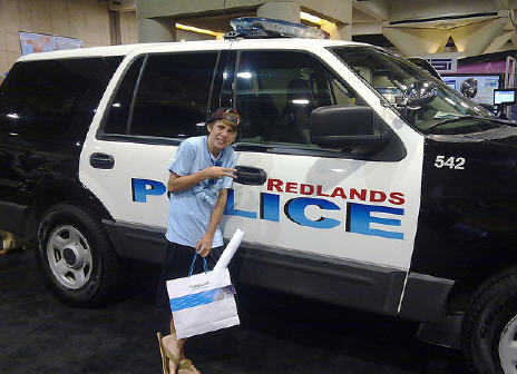
3 – Public Safety Showcase – Located in "the big hall" this showcase is a great place to visit. Lots of staff and partners available to talk with you about Public Safety related topics and how to leverage GIS. Great place to visit to see a demo of the latest applications to aid the public safety mission. It is also a bucket of fun because of all the response trucks, fire rigs and other emergency response hardware to check out.
4 – Government Island – One of many industry focused ESRI-staffed islands, this is the place to be to learn more about applying GIS within your city, county, state or federal agencies. Stop by to see a demo and discuss your agencies’ needs. See HERE Also be sure to look for Special Interest Group (SIG) meetings in your area of interest.
5 – Technical Support (Doctor’s Office) – bring your questions with you and get face-to-face help. This is always a very popular offering – so be sure to show up early on Tuesday to get a spot. You can attempt a walk-in, but I suggest making an appointment. More Details HERE
6 – User papers – Tuesday, Wednesday & Thursday be sure to spend time in some of the user paper sessions. This is a great way to learn from others around the globe. Discover new ways of doing things, how to better analyze your information and make better decisions, learn new methods to do things that you do every day. You can really learn a lot from the work of others.
7 – Product Islands – Have specific questions about ArcMap? Want to discuss the new Web API’s? Need to learn more about the new editing environment? These and other questions can be investigated with ESRI staff knowledgeable in these technologies in the various product islands. Bring your questions, pull up a chair (or a couch), and talk with product experts.
8 – Regional User Group meetings – Tuesday afternoon and into the evening, these gatherings are a great place to meet other professionals in your area. Be sure to check the agenda to see when your region is gathering – catch up with old friends and make new ones. Many of these events also have food and drink, so stop on by! Me? I will be at the CA/HI/NV gathering at 5:30 PM.
9 – Partner booths – some people never step foot in the Exhibit Pavilion thinking there isn’t anything in there for them. How wrong you are! Not only is this the location of the ESRI product islands – but there are a ton of partners in there with some fantastic solutions that you may not even be aware of. These solutions can help your company or agency save time & money – something that we all know is more and more important each year. So do plan a chunk of time to visit the partner booths – you might just learn about an existing product or solution that is just what you have been looking for.
10 – Meeting people – There are a whole lot of great geospatial folks to meet & collaborate with all over this event. Say Hi to people in the hall, sit with someone having a coffee and strike up a conversation, while waiting for a session to begin to learn what that person next to you does. You might find the perfect person to work with on a project, or someone that has some code to share, or someone that has a connection for that perfect new job you are looking for.
See you all in San Diego!
Thanks to Tim for sharing his thoughts and providing some fine suggestions
GISuser Featured ESRI Exhibitors