| |  | | New Master of Science in Digital Mapping
The University of Kentucky Department of Geography and New Maps Plus are excited to announce the opening of applications for the Master of Science in Digital Mapping!
| |
| | 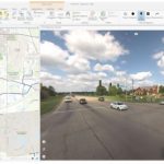 | | Orbit GT releases free Esri ArcGIS Pro Add-in
The Orbit GT add-in for ArcGIS Pro is built using the HTML5 based 3D Mapping Cloud Viewer SDK and has equal capabilities as the 3D Mapping Cloud web based Viewer. At the same time, this SDK also accesses the many installed on-premise 3DM Publishers.
| |
| |  | | Remote GeoSystems Graduates from Esri Startup Program to Silver Partner
Remote GeoSystems was one of the first accepted early-stage startups into the program. “As a small technology company bootstrapping the development and innovative product sales efforts, access to Esri’s flagship ArcGIS platform and team support was invaluable,” said Jeff Dahlke, Managing Director of Remote GeoSystems.
| |
| | 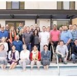 | |
2018 URISA Exemplary Systems in Government Award Recipients Announced
Since 1980, URISA’s ESIG Awards have recognized extraordinary achievements in the use of geospatial information technology that have improved the delivery and quality of government services. The award competition is open to all public agencies at the federal, state/provincial, regional and local levels. Applications were submitted within Enterprise and Single Process System categories.
|
|
| | 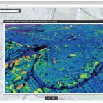 | | Orbit GT releases free Esri ArcOnline Widget for 3D Mapping Cloud and 3DM Publish
The Orbit GT Web AppBuilder Widget for ArcOnline is built using the HTML5 based 3D Mapping Cloud Viewer SDK and has equal capabilities as the 3D Mapping Cloud web based Viewer. At the same time, this SDK also accesses the many installed on-premise 3DM Publishers. So a single add-in provides access to public and private resources.
| |
| | 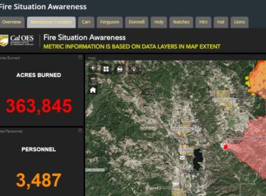 | | Around-the-Web - Dashboards Provide Real-Time Situational Awareness About Raging Wildfires
Getting accurate, timely, and useful information and data about current emergencies like the raging wildfires in the West can be a challenge. After all, there’s many agencies including local, state, and federal governments, volunteer orgs, and other responding agencies that are all providing websites, blogs, webmaps, tweets, and other information to the public
| |
| |