OGC and CRN will work together to develop a unique geospatial real property identifier that has applications in housing finance and beyond.
Contact: info@ogc.org
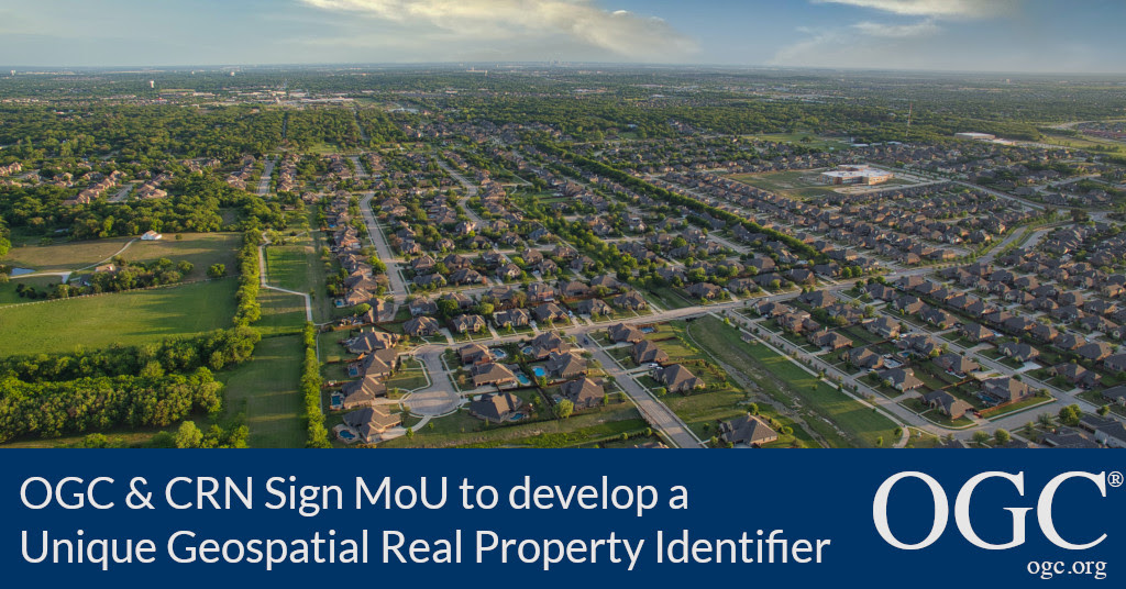
22 April 2021: The Open Geospatial Consortium (OGC) is excited to announce that it has signed a Memorandum of Understanding (MoU) with the non-profit Collateral Risk Network (CRN). Under the MoU, OGC and CRN will work together to develop a unique geospatial real property identifier (PUID) that has applications in housing finance and beyond.
OGC Chief Standards Officer, Scott Simmons, commented: “OGC is encouraged by the vision CRN has for real property identifiers that take advantage of modern IT practices for better integration with users at all levels: from housing finance participants to consumers. The work being undertaken by CRN and OGC will ensure that location information associated with property adheres to the best industry practices for accuracy and information sharing.”
Joan Trice, the founder and President of the CRN states: “Democratization of real property data is mandatory if we are going to endeavor to modernize housing finance. I knew we found the right partner to guide us through this process when I was introduced to the FAIR principles that OGC adheres to – Findable, Accessible, Interoperable, and Reusable. That says it all.”
CRN was formed in 2003 to move the collateral valuation profession forward and establish standards to ensure that appraisal reports are credible, reliable, and useful in collateral risk analysis. Trice reiterates, “In a world of big data, size isn’t much to brag about. If the data isn’t a source of truth, then all else fails. We intend to solve that problem.”
Standards are core to modernizing and advancing a real estate IT “Super Highway,” yet a unique property identifier is conspicuously absent. There is currently no retrievable catalog or census of all real estate in the US today. The PUID aims to provide the basis for such a catalog while ensuring that future connections to data from city, building, underground models, and/or other associated data, for example, are easily enabled.
In establishing the PUID, OGC and CRN will jointly promote a Concept Development Study and subsequent Pilot to show the art of the possible.
For more information about how to participate in this exciting project please contact: Joan Trice, jtrice@collateralrisk.org.
About CRN
The Collateral Risk Network, Inc. is a non-profit, whose mission is to instill confidence in the housing market by creating an environment that promotes safe and sound collateral risk practices, policies and procedures under all economic conditions through education and collaboration. A vibrant housing finance system is at its best when it works for all stakeholders. Our core values are transparency, integrity and independence. A holistic focus, bringing all stakeholders into our organization through various boards, committees and councils, is necessary in order to build a dynamic and sustainable model.
Visit collateralrisk.org for more info.
About OGC
The Open Geospatial Consortium (OGC) is an international consortium of more than 500 businesses, government agencies, research organizations, and universities driven to make geospatial (location) information and services FAIR – Findable, Accessible, Interoperable, and Reusable.
OGC’s member-driven consensus process creates royalty free, publicly available geospatial standards. Existing at the cutting edge, OGC actively analyzes and anticipates emerging tech trends, and runs an agile, collaborative Research and Development (R&D) lab that builds and tests innovative prototype solutions to members’ use cases.
OGC members together form a global forum of experts and communities that use location to connect people with technology and improve decision-making at all levels. OGC is committed to creating a sustainable future for us, our children, and future generations.
Visit ogc.org for more info on our work.