I fell into being a GeoGeek accidentally. Like many experiences I had in college, I never intended to be a GIS professional. I wrote technical reports, loved maps, and wanted a way to integrate them into my reports, so I took a course from ESRI online. Then another, and another, and so on. I was addicted.
Most of the time I write about unusual uses for maps, from the NFL and Sustainability to Visualizing Light Pollution and the mapping project spearheaded by Republicans that made Trump the nominee. I also write about more practical uses for mapping from a business and marketing perspective.
In this realm there are several tools essential to GIS professionals, whether you are a solopreneur or a part of a larger team, these are things to have in your arsenal.
A Backup Plan
One of the first things I learned after a large data loss was to have both physical and cloud backups of all of my GIS data for all of my clients. Fortunately after my data loss, client backups allowed me to restore at least some of the data.
 Photo courtesy Backupassist
After a client lost a great deal of data in a server failure, I was able to restore the portion of their data I was working on from my own backed up files. I use a service called Backupassist, which helps me manage my data storage without me having to think about it. My data is then backed up on a physical external drive as well as in private cloud locations. I use different providers for different clients.
No matter what program you use, you should have a foolproof backup plan for your data.
Sources for External Data
Basically the purpose of using GIS for business is to take customer experience data that is geographically related and transforming it into useful, smart data that can be visualized using maps. Of course this makes GIS professionals reliant on the data provided by your company or your client. Or does it?
A great tool called Reportlinker gathers data from a number of sources and makes industry reports, statistics, and slideshows accessible. This can be a great way to grab that additional piece of data that will make your report to your client or boss stand out. No matter what the statistic or industry, you will probably find something relevant on this site.
ArcGIS Marketplace Apps
Chances are you have some favorite apps in the ArcGIS marketplace, but these are ones I consider essential. All of them have a unique purpose and lend themselves to uses that vary depending on client needs.
Admin Tools for ArcGIS Online
Like Backupassist helps you automate data backup and recovery, Admin Tools for ArcGIS Online was developed by Geo Jobe, a GIS consulting firm, helps you manage the administrative and maintenance tasks associated with being a GIS Professional. Like you, I am good at making maps and apps, not running administrative tasks and maintainance behind the scenes. For everyone from solopreneurs to GIS departments, this tool is sure to save you time.
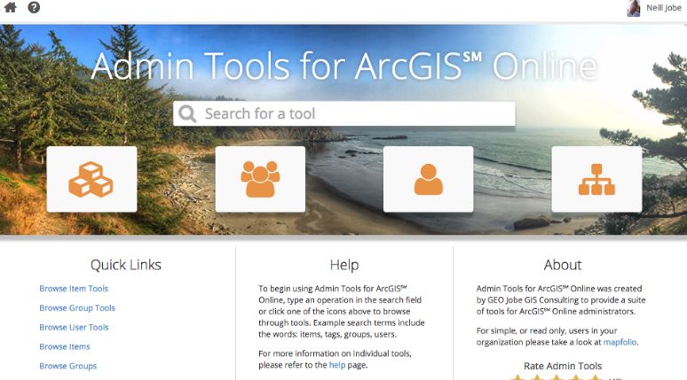
Photo Courtesy Geo Jobe
This app grows with you and is available in the Free version, a Pro Version, and a Portal Version depending on your needs and those of your organization. Why waste your valuable time doing something that you can automate?
What3Words
“No matter where or how you gather geographic information, a simple way to refer to locations is essential,” this apps literature explains, and I could not agree more. A location reference system based on a global grid made up of 57 trillion 3m x 3m squares, What3Words allows the user to both forward geocode to three word addresses in multiple languages and reverse geocode coordinates to three word addresses.
These three word phrases are both easier to remember and communicate. “This kind of creative technology breaks down language and cultural barriers for geospatial collection, support, and development,” says one reviewer.
Depending on your client needs and international presence, this tool can facilitate clear communications in a number of ways.
Mapfolio
Need to personalize your ArcGIS online experience? Not all of your users need access to everything in ArcGIS, or if you are working within a client’s account, you do not need access to every tool or file they have, but rather only to those related to your project.
Mapfolio, another app by Geo Jobe, gives you the capability to filter your content using the ArcGIS online tagging feature so you or other users in your system only see the information and features they need.
Again this is a time saver. You don’t have to wade through new and updated information that is not relevant to your current set of tasks: the process is automated through the use of tags you are already (or should be) using in ArcGIS anyway.
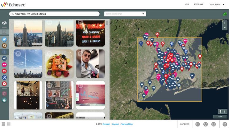
Echosec for GIS
Echosec for GIS has long been one of my favorite social listening apps. Instead of searching social media with keywords and hashtags, which assumes you know what hashtags and keywords to search for, instead you can draw a geographic fence around a certain location (large or small) and see all the publicly available posts in that area.
 Map courtesy Echosec
This information provides you instead what people in a specific area are already talking about. You can then pass along those hashtags or keywords to content marketing and the social media experts in your market so they can capitalize on them.
This can be a big key to location based marketing and targeting of specific demographics, a clear way to show the value of GIS to C-level managers if you work for a company, or as another way to make your skills valuable to a client.
UtiliSocial for ArcGIS Online
Another similar social listening app is UtiliSocial for ArcGIS Online. Like Echosec, UtiliSocial lets the user geo-listen across several social media platforms in a certain geographic area, turning what normally might be considered big data social noise into actionable data, whether that is for brands and marketing or emergency response.
Another plus is this app allows users to converse with social media users in real time, responding to questions or even reacting to information quickly. Using this as part of your GIS platform allows your company or client to engage in a new and proactive way.
Maptiks
Got your map set up on your website showing your neighborhood, your location, or where users can get your product? Want to know how effective your map is?
Maptiks allows you to track more than just map views. You can track bounce rates, layer load times, pans and zooms, the amount of time the average visitor spends with your map, and any activity they perform during their session.
This analysis allows you and your client to go much deeper than normal analysis, and can inform you of a number of web fixes, including default zoom level, map layer simplification and improvements, and changes in data needed to reduce bounce rates and increase engagement.
For almost any organization using a map on their website, this app is a must.
Mapillary
If you’re going to have a map as part of a website, a particularly useful tool is to add the street view data to it, and that is exactly what Mapillary does. This has all kinds of applications, from determining street light placement and mapping fire hydrants to real estate sites and urban planning tools.
While not essential for every client or company, this tool makes a lot of sense for a number of applications, and has some advanced features useful depending on the specific application.
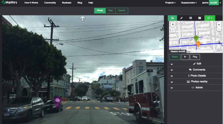 Photo courtesy Mapillary
Trek2There
This last app is far from essential, unless you are a mountain biker and hiker like me, but it can have some practical applications for utility or environmental field teams as well.
If you are in an area where there are no mapped roads or trails, input coordinates and Trek2There will tell you which direction you need to head and for how far, kind of like a smart arrow. Not only can coordinates be entered from other apps, but the source code is available for developers under the Apache 2.0 license.
This means you can integrate Trek2There into your own application and the map on the mobile version of your website, something that could prove a useful way to connect to customers.
I’m sure you can come up with an even longer list of essential apps and software every GIS User should have. Let me know what your favorites are in the comments below.
Author:
Troy Lambert is a freelance writer, editor, and non-profit consultant by day, and a suspense thriller author by night. He learned about the power of GIS while working as a researcher at a museum, and is always looking for ways to apply this technology and big data in new and innovative ways. Troy is an avid cyclist, skier, and hiker. He lives, works, and plays in Boise, Idaho. His work can be found at troylambertwrites.com, and you can connect with him on Twitter @tlambertwrites.