GIS user technology news

News, Business, AI, Technology, IOS, Android, Google, Mobile, GIS, Crypto Currency, Economics

  • Advertising & Sponsored Posts
    • Advertising & Sponsored Posts
    • Submit Press
  • PRESS
    • Submit PR
    • Top Press
    • Business
    • Software
    • Hardware
    • UAV News
    • Mobile Technology
  • FEATURES
    • Around the Web
    • Social Media Features
    • EXPERTS & Guests
    • Tips
    • Infographics
  • Blog
  • Events
  • Shop
  • Tradepubs
  • CAREERS
You are here: Home / * PRESS / Emergency Response / OSM Mapathon for Ecuador Earthquake at Heidelberg University on Thursday April 21st

OSM Mapathon for Ecuador Earthquake at Heidelberg University on Thursday April 21st

April 20, 2016 By GISuser

An update via the GIS Science news blog

2016-04-20 11_34_54-OpenRouteService

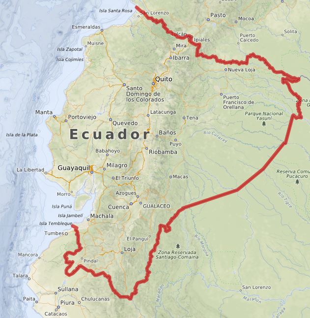
Last Saturday Ecuador was hit by a severe earthquake. Especially large parts of the coastal region have been devastated. Just a few hours later the Humanitarian OpenStreetMap teamstarted first mapping actions to help producing the urgently needed geographic information and maps in OpenStreetMap.

We want to participate in the relief work with a mapping action for Ecuador on Thursday,
04/21/2016
, starting from 18 pm in the auditorium of the Insitute of Geography Heidelberg University, in the Berliner Straße 48, 69120 Heidelberg.

Everybody who would like to help us is welcome on Thursday to come by to the Institute of Geography and help activeley.

No experience is necessary to participate. We start at 18pm with a short introduction to disaster mapping and OSM and then we will be with you during the event to answer questions and help with mapping.

See more info HERE

More info about the OpenRoute Serviec:

In order to provide emergency and rescue forces in Ecuador with the latest information concerning infrastructural conditions of roads and buildings the Humanitarian OpenStreetMap Team (H.O.T.) as part of the OpenStreetMap Community coordinates the crisis mapping activities for the Ecuador earthquake.

As a first support of these activities the GIScience Heidelberg team set up a OpenStreetMap disaster routing and crisis map collecting and visualizing latest OSM information.

The OpenRouteService Disaster Map: http://openls.geog.uni-heidelberg.de/disaster/ and the routing graph will be updated regularil

Filed Under: Emergency Response, Environment Tagged With: earthquake, Ecuador Earthquake, OSM

Editor’s Picks

GIS and History: Using the Past to Inform the Present

Event Review, Commercial Drone Expo

HUD and Zillow Hacking for Affordable housing

Former Governor Geringer Leads Panel Calling on Congress and Governors to Make National Spatial Data Infrastructure a High Priority

See More Editor's Picks...

Recent Industry News

Milwaukee M18FHZ-0 Hackzall Reciprocating Saw – For hardcore cutting in a compact size

June 19, 2026 By GISuser

How Enterprises Are Using AI to Automate 80% of Customer Interactions With Voice Agents

June 16, 2026 By GISuser

Why On Cloud Shoes Are Worth the Price in Mexico

June 16, 2026 By GISuser

Jinghong vs XAG Agricultural Drones: A Comprehensive Comparison Guide

June 16, 2026 By GISuser

Hot News

State of Data Science Report – AI and Open Source at Work

HERE and AWS Collaborate on New HERE AI Mapping Solutions

Virtual Surveyor Adds Productivity Tools to Mid-Level Smart Drone Surveying Software Plan

Categories

Copyright gletham Communications 2015 - 2026

Go to mobile version