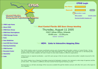
The CFGIS initiative seeks to increase coordination among users of geographic information systems in Central Florida. Its two primary components are a regional users group and a data clearinghouse. The portal provides access to community message boards, data, and other useful user resources.
To assist GIS users in getting the most from their systems, the East Central Florida Regional Planning Council established the Central Florida Geographic Information System (CFGIS) Users Group and Data Clearinghouse for 10 counties in the central Florida area:
- Marion
- Flagler
- Volusia
- Sumter
- Lake
- Seminole
- Orange
- Osceola
- Polk
- Brevard
Pointers to regional user groups specific to each county are also provided.
For a real score, check out the links to interactive webmapping sites. This directoy lists dozens of fine webmapping resources maintained by local and reagional governments and agencies in Central Florida.